Hurricane Irma Photos: Images of a Monster Storm
Flooded streets
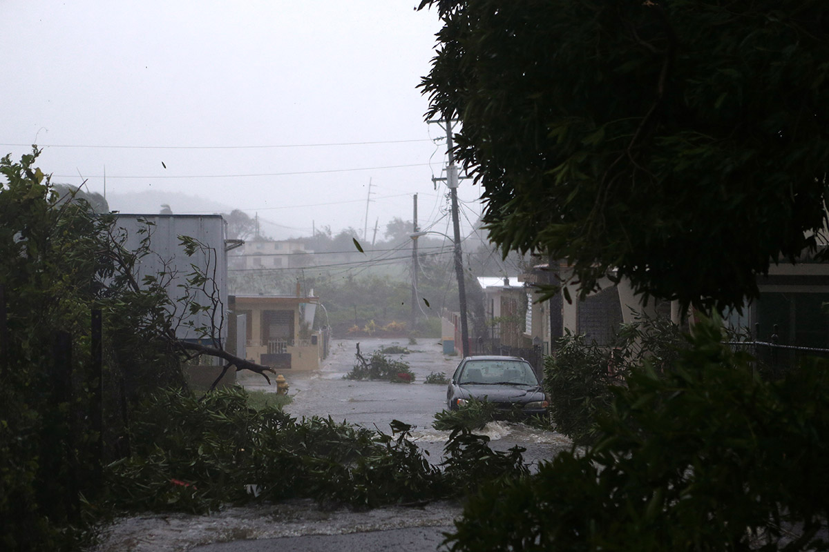
A street is flooded in Fajardo, Puerto Rico. Hurricane Irma passed just north of Puerto Rico on Sept. 6, 2017.
Heavy rains
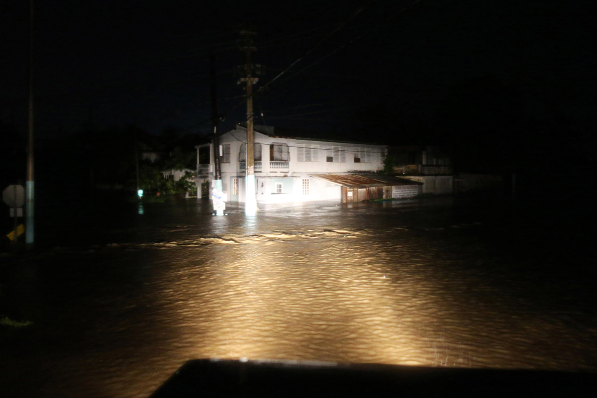
A rescue team from the local emergency management agency inspects flooded areas after the passing of Hurricane Irma on Sept. 6 in Puerto Rico.
Moving along Cuba coast
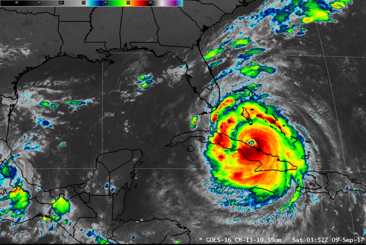
This still from an animation captured by the GOES-16 satellite shows Hurricane Irma paralleling the north coast of Cuba on Sept. 9, 2017, with the outer bands of rain moving into southern Florida.
Rescue operations
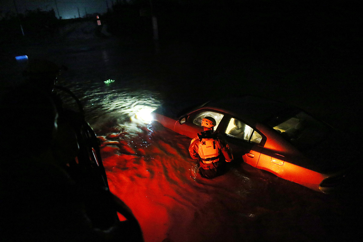
Hurricane Irma passed north of Puerto Rico on Sept. 6, before moving between Hispaniola and the Turks and Caicos Islands.
Path of destruction
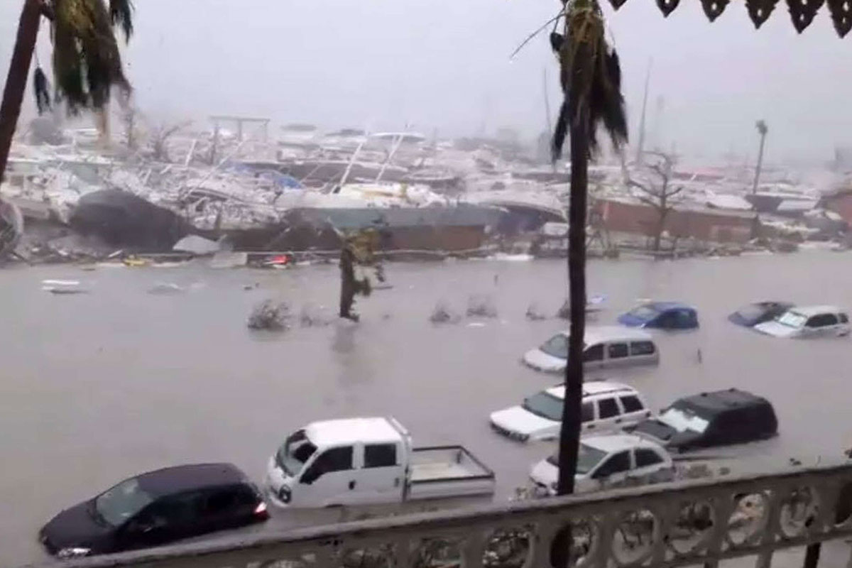
As of Sept. 6, Hurricane Irma is moving toward the northeast Caribbean, on a path that could impact the Florida Peninsula.
Landfall
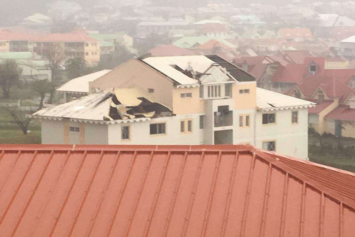
Hurricane Irma slammed into the Caribbean in the wee hours of the morning on Sept. 6. This photo shows destruction in Saint Martin in the northeast Caribbean.
Flooding from Irma
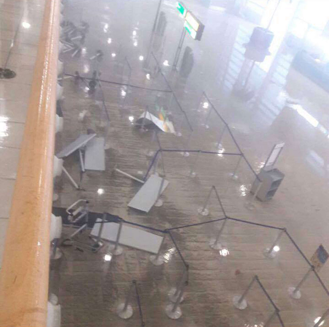
Hurricane Irma is the most powerful seen in the Atlantic in more than a decade. The hurricane made landfall in the Caribbean in the early hours of the morning on Sept. 6.
Get the world’s most fascinating discoveries delivered straight to your inbox.
Stocking up
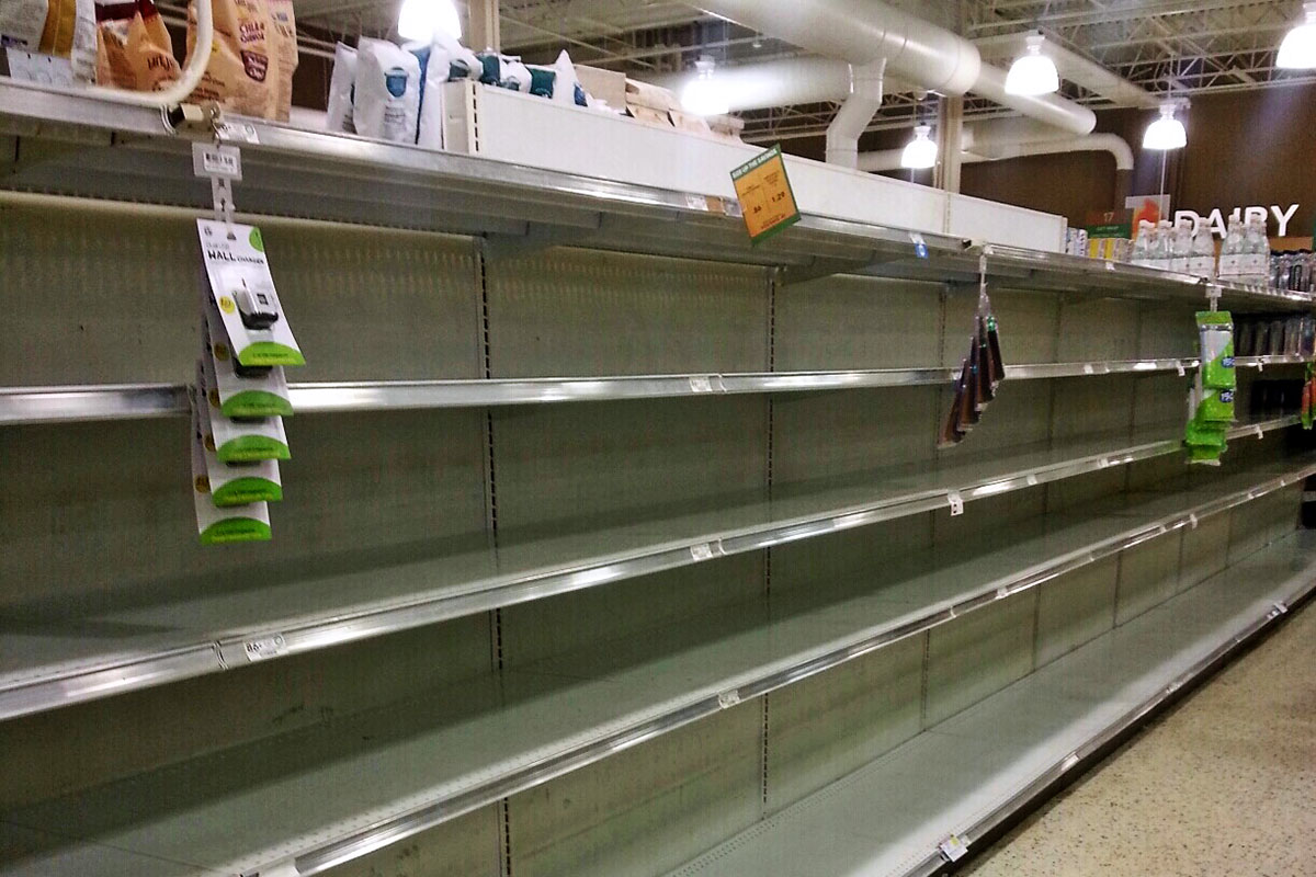
Water was completely sold out at the Publix at Northeast Park Shopping Center on Monday morning (Sept. 4) in St. Petersburg, as residents prepare for a possible hit by Hurricane Irma.
Preparing for the worst

Irma was upgraded to a Category 5 hurricane early on Sept. 5, and quickly became the strongest hurricane on record to ever form in the Atlantic Ocean, not including the Caribbean basin or the Gulf of Mexico, according to the National Hurricane Center.
Dwindling supplies
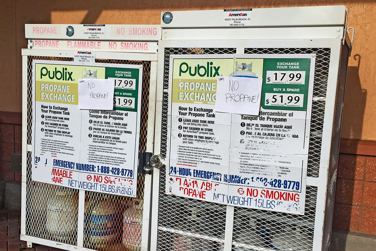
A state of emergency was declared in the state of Florida by Gov. Rick Scott on Sept. 4, 2017. Puerto Rico Gov. Ricardo Rosselló also declared a state of emergency in response to the coming storm.


