Icy images: Antarctica will amaze you in incredible aerial views
Earth's chilly bottom
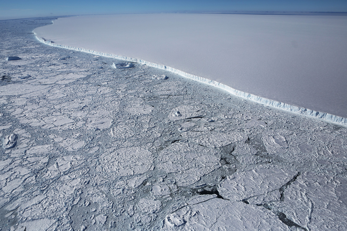
The chilly bottom of planet Earth, the southernmost continent and a place that boasts nothing but extremes, is a winter wonderland for a trove of curious scientists. In the largest airborne survey to date of the poles, NASA's IceBridge project is aimed at recording the rapidly changing ice of both Antarctica and Greenland. Once a year, from March to May over Greenland and October November over Antarctica, research aircraft fly above the ice sheets to look for evidence of change. Besides collecting invaluable climate-related data, the surveys have also delivered jaw-dropping images of the vast expanses of ice. Here's a look at the gorgeous photos snapped of Antarctica during a Nov. 3, 2017, flight aboard a retrofitted 1966 Lockheed P-3 aircraft over Antarctica.
Sea ice and glaciers
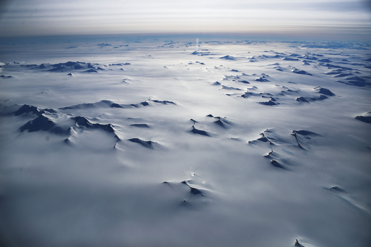
The November flight took researchers above sea ice in Western Antarctica, including the Bellingshausen and Weddell seas and glaciers in the Antarctic Peninsula and along the English and Bryan Coasts.
Rising sea levels
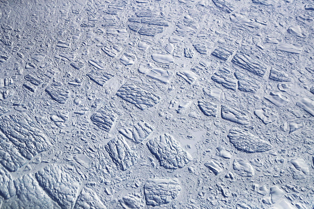
Researchers using IceBridge data have found that the West Antarctic Ice Sheet may be in a state of irreversible decline, something that could directly contribute to rising sea levels.
Green laser pulses
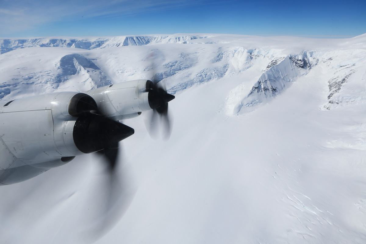
The main instrument aboard the P-3 was a laser altimeter, which measures the height of the ice surface, according to NASA. The scientists used a green laser and a dual-color one to transmit both infrared and green laser pulses.
Antarctic measurements
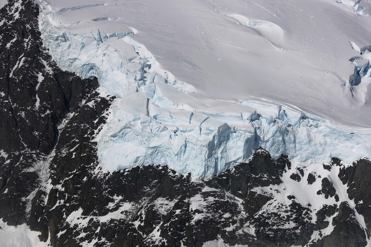
Onboard radar sounders measured thickness and layering of the snow and ice; a high-resolution camera captured images of the terrain; and an infrared camera to measure surface temperature.
Magnetic measurements
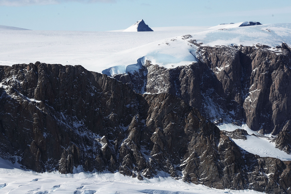
The plane also carries a gravimeter and magnetometer to record tiny variations in Earth's gravity and magnetic fields, respectively, according to NASA's Earth Observatory. The magnetic properties of the bedrock beneath the floating ice shelves and glaciers tell scientists what type of rock is present there.
Feeling the heat
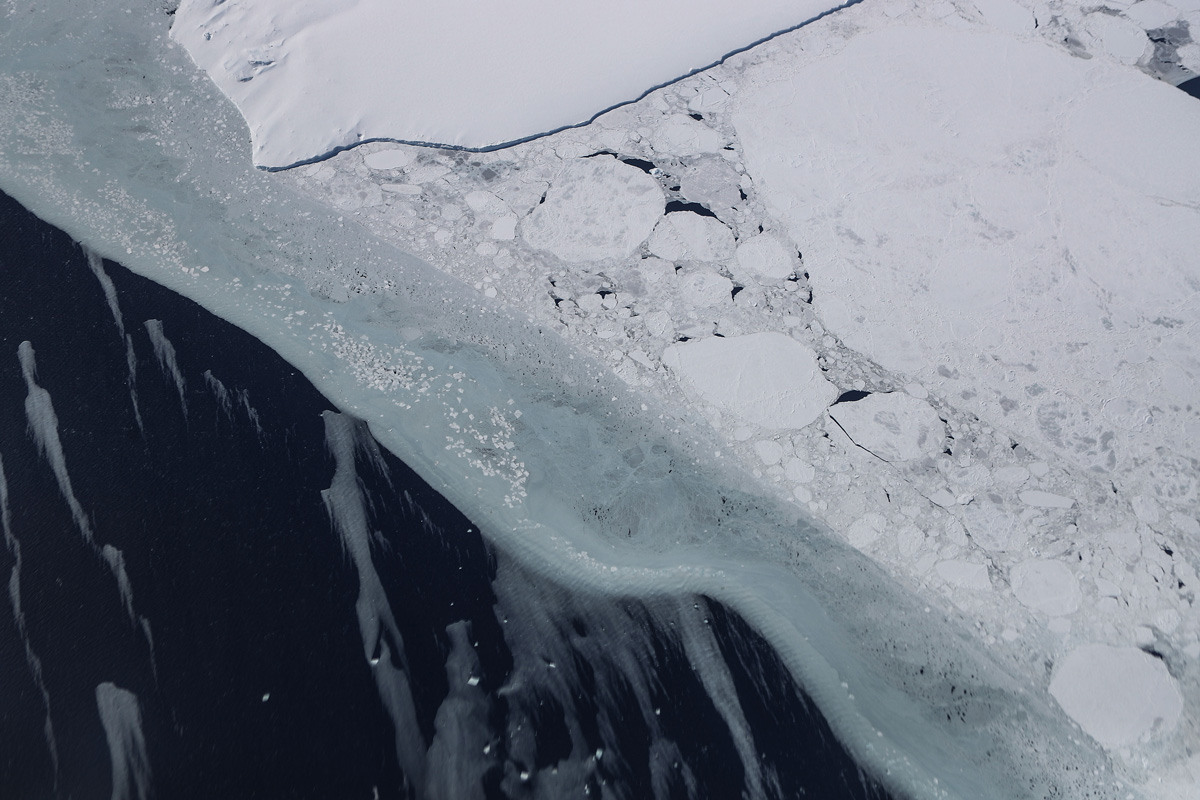
The virtually uninhabited landmass is feeling the heat of climate change…
Amazing Antarctica
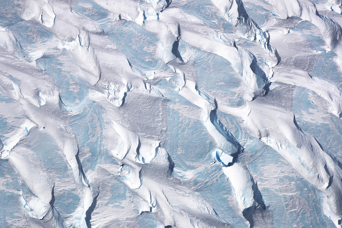
The National Climate Assessment, a study produced every four years by scientists from 13 federal government agencies, released a stark report Nov. 2, 2017, stating that the global temperature rise over the past 115 years has been primarily caused by "human activities, especially emissions of greenhouse gases."
Artistic views
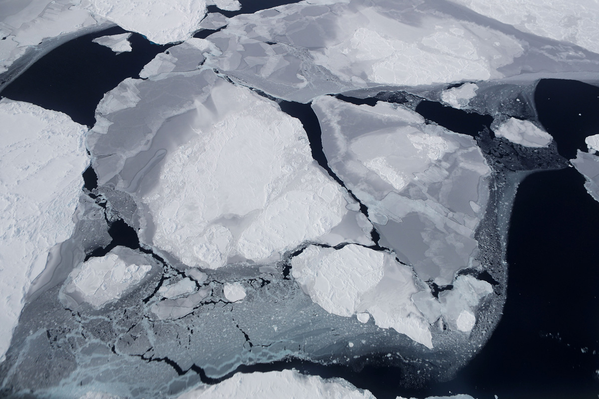
Sea-ice floes in Antarctica create fascinating patterns and hues when viewed from above.
Polar window
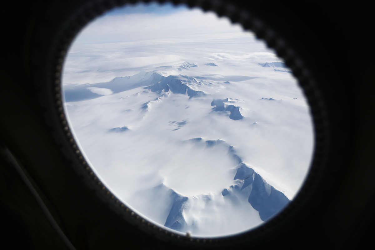
A view from a window in the research craft gives scientists a view of the expansive continent.
Icy desert
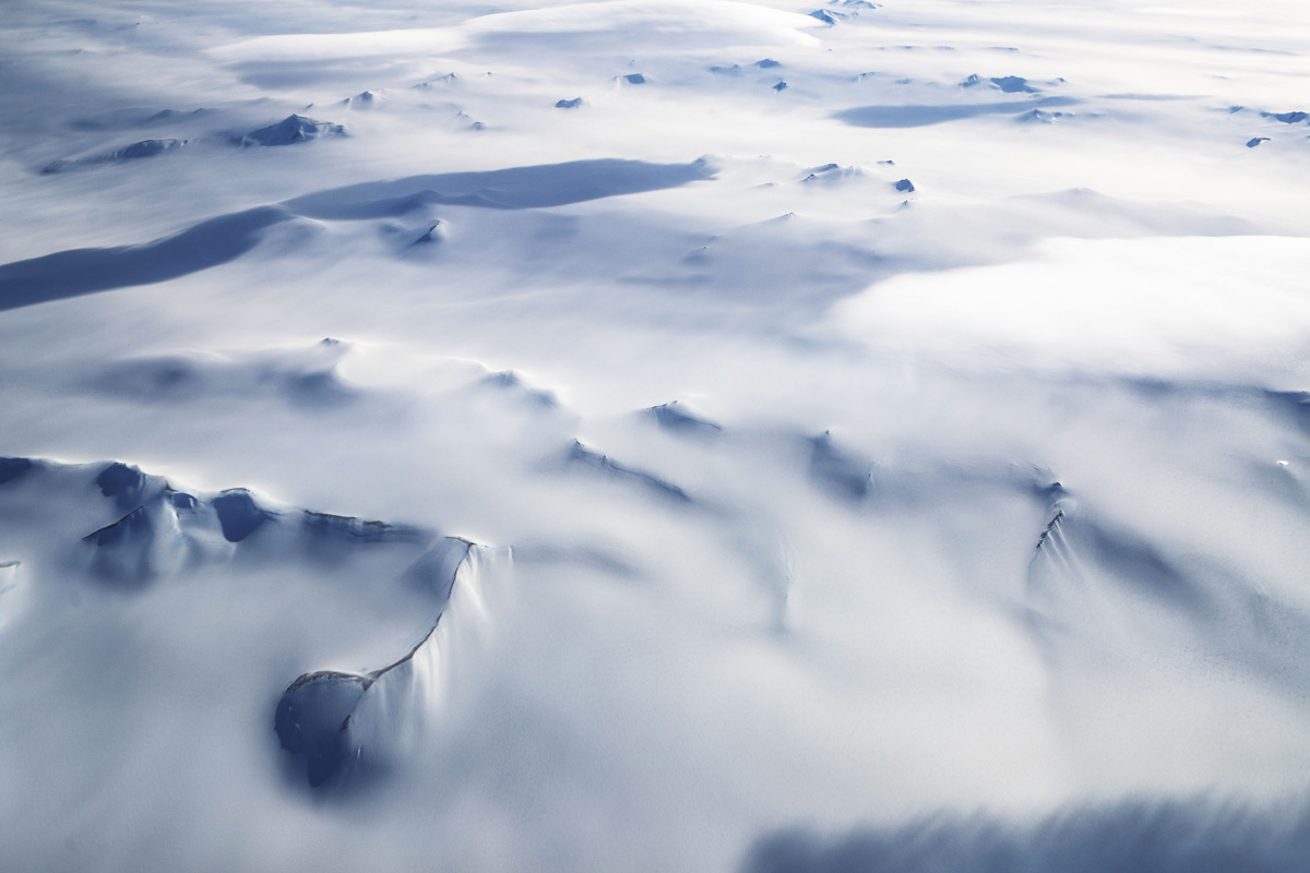
Though Antarctica is covered in snow and ice and the coldest place on Earth, it is actually a desert: It rarely rains or snows. The snow that does fall doesn't melt and instead builds up into thick ice sheets.
Sign up for the Live Science daily newsletter now
Get the world’s most fascinating discoveries delivered straight to your inbox.
Jeanna Bryner is managing editor of Scientific American. Previously she was editor in chief of Live Science and, prior to that, an editor at Scholastic's Science World magazine. Bryner has an English degree from Salisbury University, a master's degree in biogeochemistry and environmental sciences from the University of Maryland and a graduate science journalism degree from New York University. She has worked as a biologist in Florida, where she monitored wetlands and did field surveys for endangered species, including the gorgeous Florida Scrub Jay. She also received an ocean sciences journalism fellowship from the Woods Hole Oceanographic Institution. She is a firm believer that science is for everyone and that just about everything can be viewed through the lens of science.
