In Photos: The Stunning Gila Wilderness Area
Protected beauty
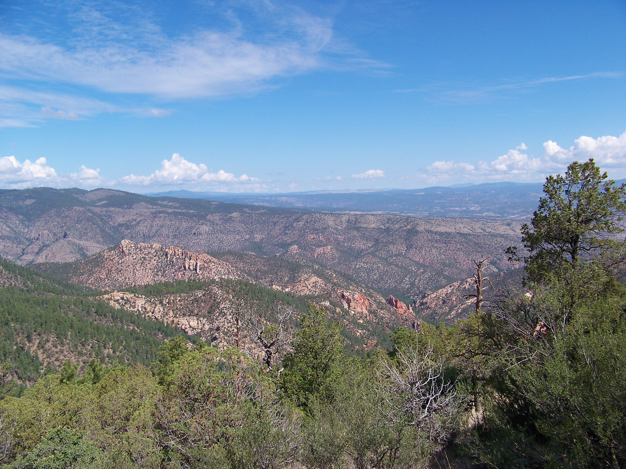
The Gila (pronounced "He-la") Wilderness of southwest New Mexico became the world's first designated wilderness area when it was created on June 3, 1924. Along with the Aldo Leopold Wilderness and the Blue Range Wilderness, the three make up the Gila National Forest. These lands are a vast, undeveloped natural region of grasslands, juniper woodlands, ponderosa pine forests and, at the summits of the mountains' highest peaks, spruce-fir forests.
Rough terrain
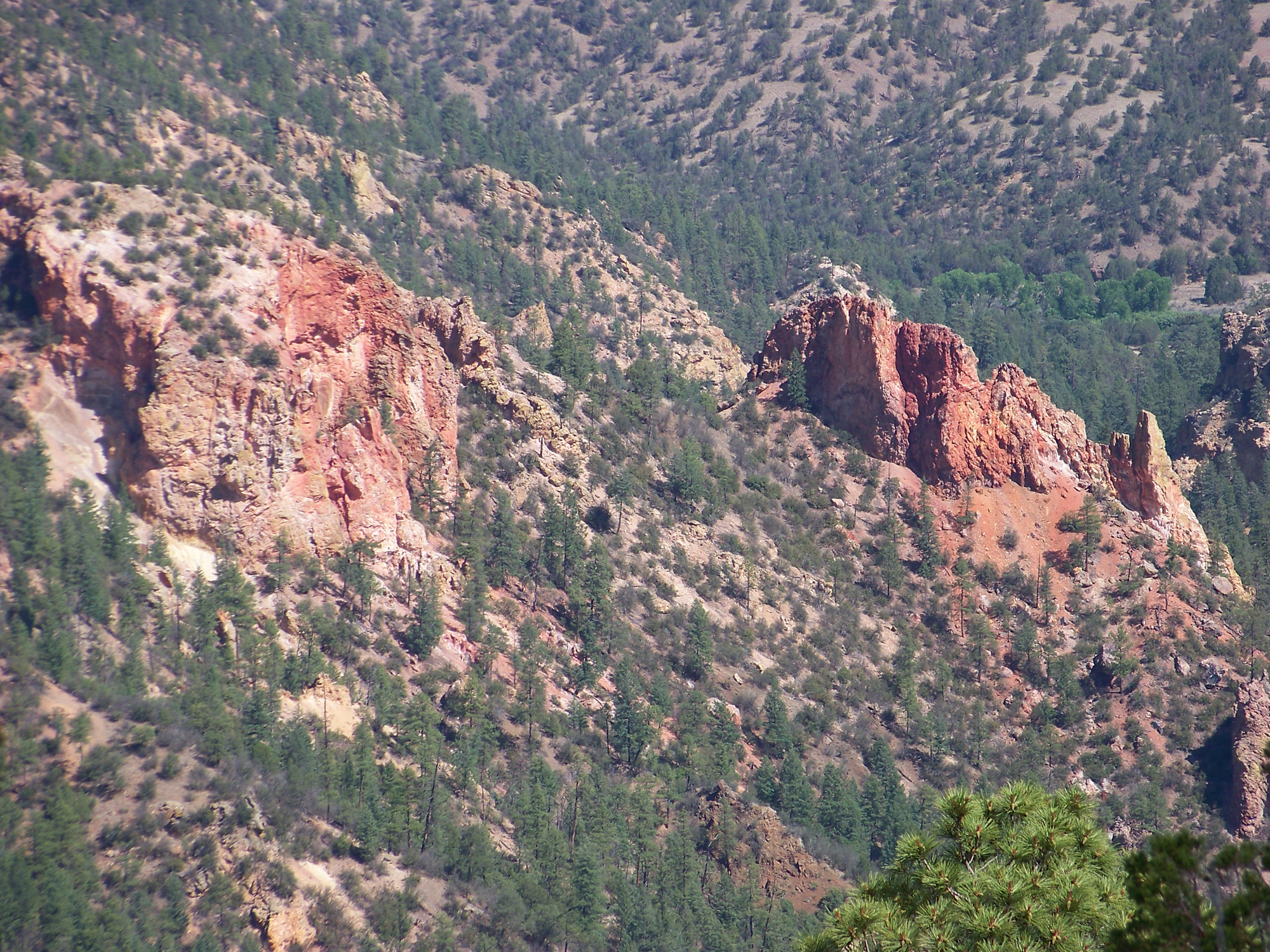
Within the boundaries of these three national wilderness areas are found four distinct mountain ranges: the Black Range, the Mogollon Range, the Diablo Range and the Blue Range. Together, the wilderness areas comprise some 789,385 acres (319,453 Ha) in which there are no roads, logging, commercial businesses or resorts. All travel within the wilderness areas must be done on foot or horseback. Some 800 miles of trails can be found within these boundaries. The Rocky Mountains end here in the Gila Wilderness; so too does the northern range of Mexico's Sierra Madre mountains. Both the Sonoran and Chihuahuan deserts also reach into the Gila Wilderness, adding to the great diversity of plants and animals within the area.
A once great river
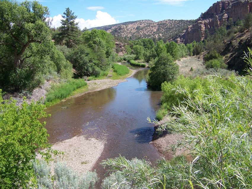
Meandering through this vast area of wilderness is one of the longest rivers in the American West. The Gila River is more than 500 miles (805 kilometers) long, starting in the mountains of the Gila Wilderness and, in pre-industrial times, emptying into the Colorado River just north of Yuma, Arizona. The Gila River was once navigated by shallow-draft steamboats, but today, the once great river usually runs dry before even reaching Phoenix area. Many conservationists refer to the Gila River as the birthplace of wilderness.
A born leader
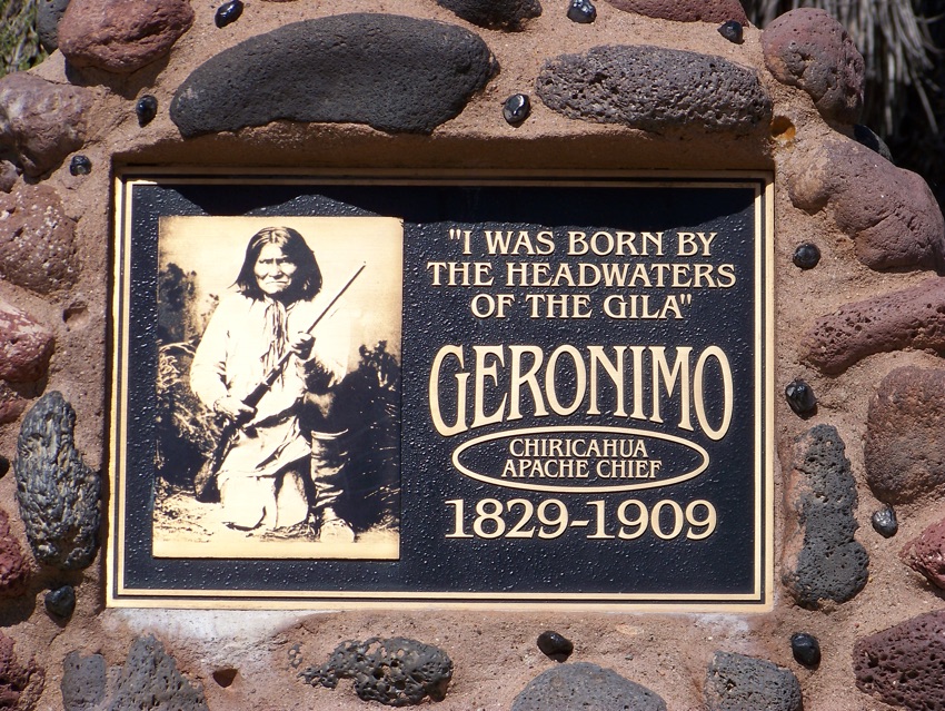
With such a great source of fresh water and an abundance of wildlife and edible plants, it's no wonder that this area has long been inhabited by humans. One such great historical figure was the Chiricahua Apache medicine man Goy-ah-kla, who later became known to settlers and Mexican and U.S. soldiers as Geronimo. Geronimo was not a hereditary chief of his tribe but did become one of the tribe's most skillful, tactful and respected Native American leaders. Goy-ah-kla always claimed to have been born in the upper Gila River country, which today is eastern Arizona.
Volcanic effects
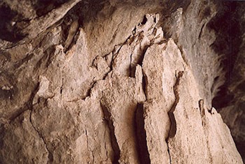
The Gila Wilderness is located in the Southern Rocky Mountains province. Many periods of volcanic eruptions, faulting and erosion during the Tertiary period (66 million to 2.6 million years ago) created the modern landscape we see today. The collapse of an ancient subsurface magma chamber created a caldera hundreds of feet deep and some 10 miles (16 km) across. The ancient basalt flows have been covered, then eroded again and again by the seasonal flooding of the Gila River. Gravel, sandstone, siltstone and volcanic tuff are common forms of rock found across the region. The Gila Conglomerate, shown here, is a geologic formation.
Weathering
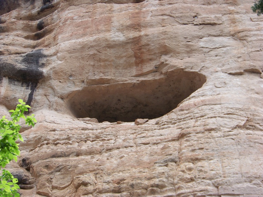
In one canyon of the Gila Wilderness, a series of caves can be seen and visited some 175 feet (53 m) above the West Fork tributary of the Gila River. These caves are believed to have been formed by the lateral cutting of the tributary's flowing water when the canyon was as only as deep as the bottom level of the caves. Over a period of some 260,000 years, the canyon floor was cut deeper and deeper to its current location. Today, the caves are continually enlarged by the processes of weathering. Exfoliation, or spheroidal weathering, is a major contributor to the creation of the many natural caves found here.
Making it home
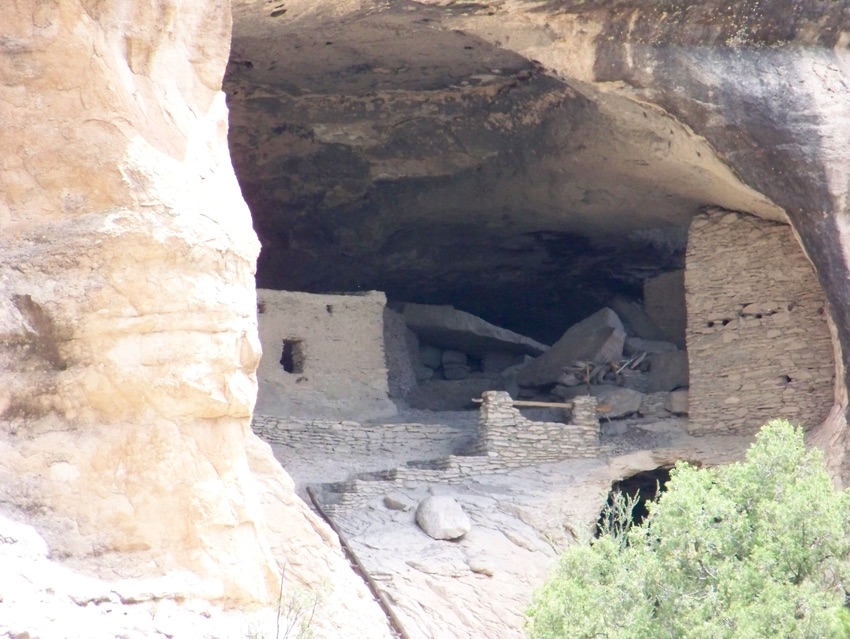
Before the time of modern man, an ancient people also recognized the many natural resources found in this region of North America. Archaeological evidence suggests that early nomadic people used the Gila River caves as temporary places of shelter for thousands of years. Much later — between A.D. 1260 and A.D. 1280 — a group of Native Americans decided the caves would be a good place to construct permanent home sites. The Native Americans, known today as the Tularosa Mogollon (mug-ee-yone) culture, built some 40 rock and adobe rooms within six of the largest sandstone caves.
Get the world’s most fascinating discoveries delivered straight to your inbox.
Farming community
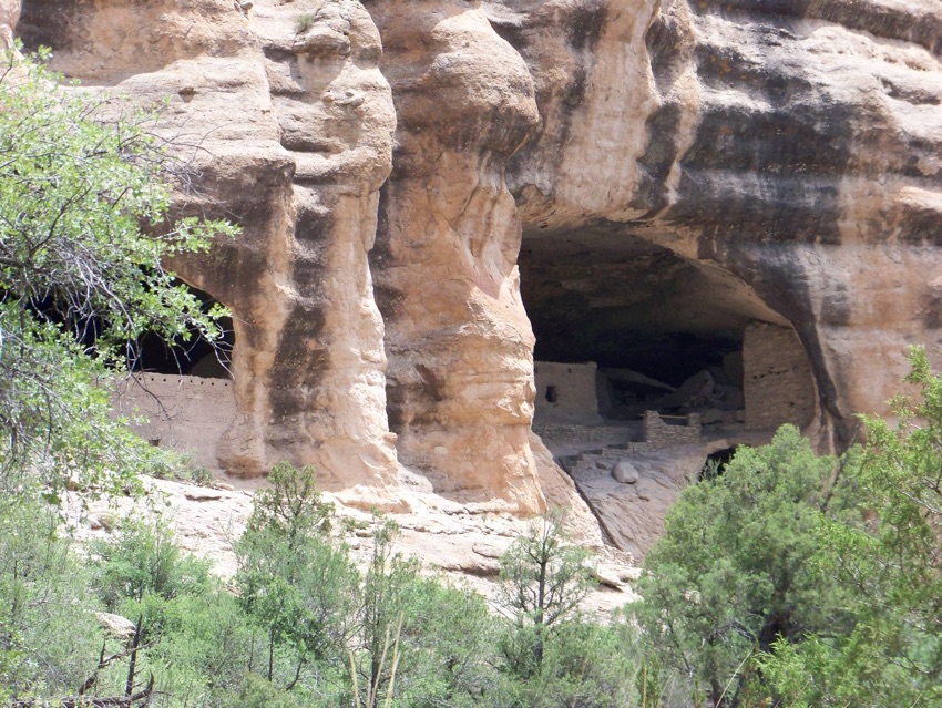
The people of the Tularosa Mogollon culture were hunter-gatherers and also practiced rudimentary farming. Their architecture and artifacts suggest that they were highly influenced by the larger and more elaborate Anasazi culture located to the north near what today is the Four Corners area. Their fields were located on both the mesa tops and along banks of the nearby West Fork Tributary. Thanks to the region's 140-day annual growing season, the Tularosa Mogollon culture raised corn, beans and squash. In the surrounding lush forests, they hunted deer, elk, turkey and ducks and collected nuts and berries. Their clothing was made from skins, yucca cord, baked agave leaves and cotton.
Family dwellings
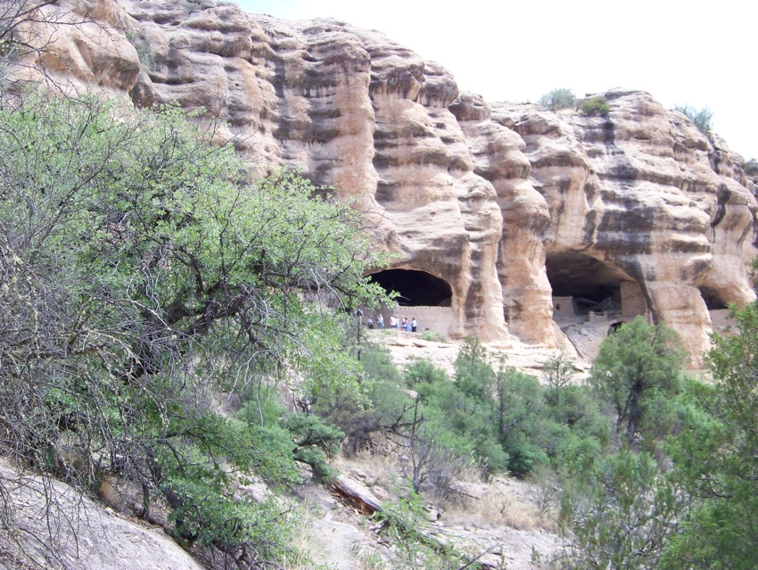
Archaeologist speculate that no more than 10 to 15 Tularosa Mogollon families lived in these caves at any one time and possibly only one generation lived here. Their structures show that the rooms served different roles, including storage rooms, ceremonial rooms, communal rooms and daily living rooms. Some rooms had prepared floors while other rooms had floors of existing bedrock. Because their pottery was made from iron-rich volcanic clays, when fired, it resulted in dark brown vessels.
Moving on
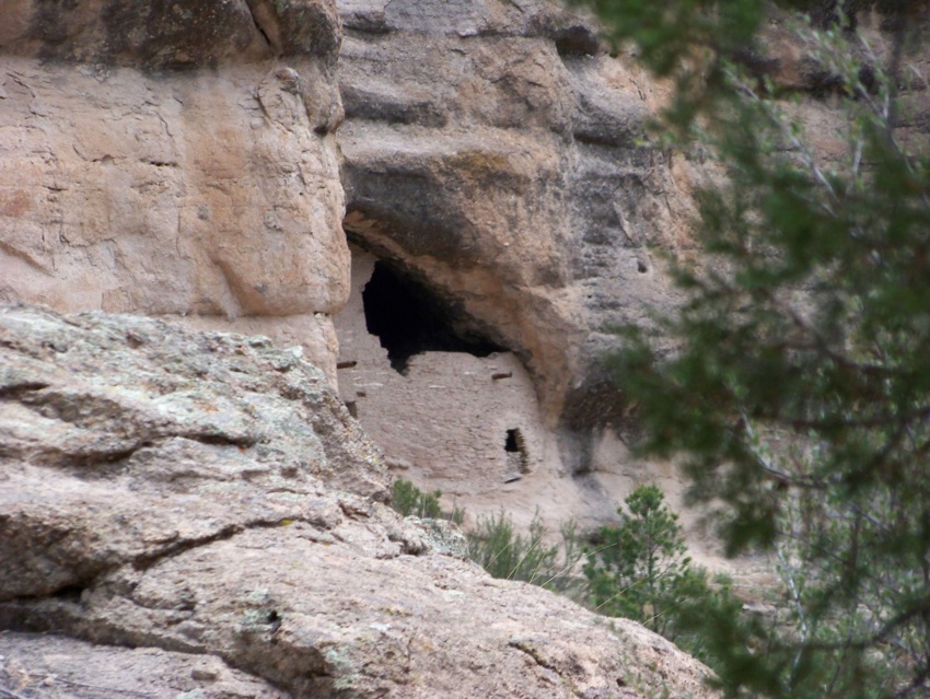
By early A.D. 1300, the Mogollon culture of the Gila Wilderness abandoned their cave-dwelling homes. Why they left and where they went are both unanswered questions that modern archaeologists continue to investigate. It's possible that they left their caves because of extended drought, or because of the arrival of other native cultures, such as the Athabaskan-speaking Apache clans, into the Gila River region.
Preserved for history
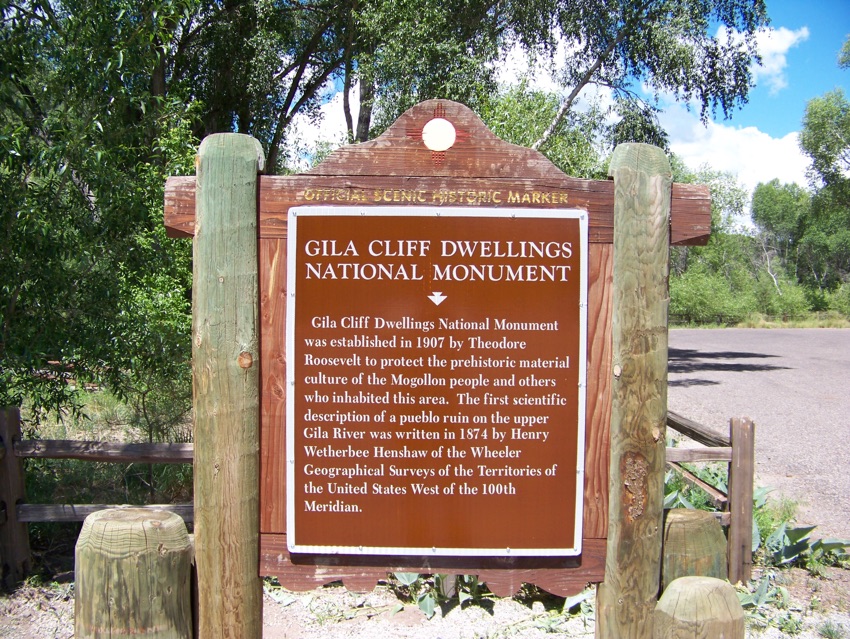
Today, the caves once inhabited by the Tularosa Mogollon culture are preserved within the boundary of the Gila Cliff Dwellings National Monument. The 533-acre (2.16 sq. km) national monument was established on Nov. 16, 1907 by President Theodore Roosevelt. A one-mile (1.6 km) loop trail allows visitors to explore not only the ancient caves but also a small section of the natural environment that the Mogollon culture once called home.


