Photos: Christopher Columbus Likely Saw This 1491 Map
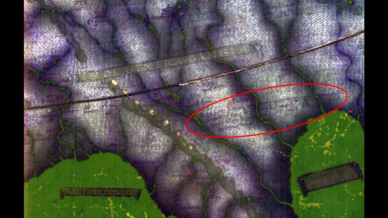
Reading the text

Finally, researchers were able to read the text on the India portion of the map with this processing technique.
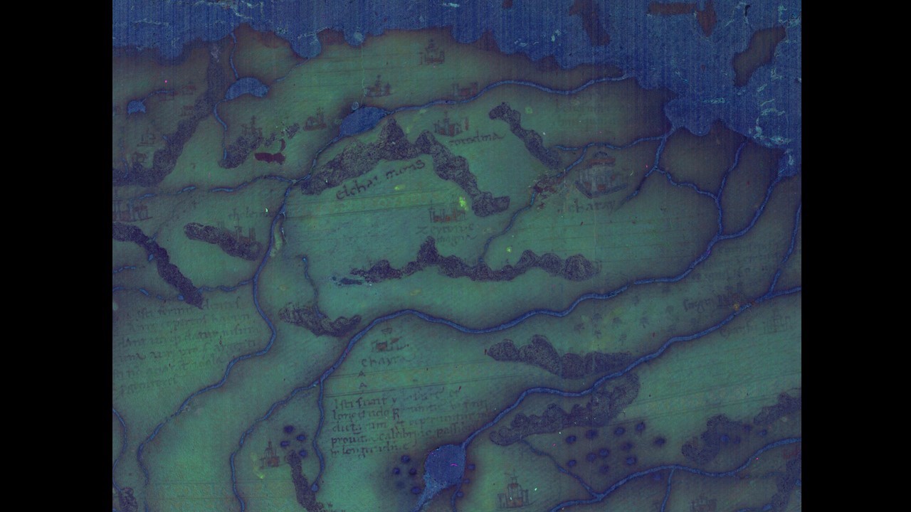
Northeastern Asia

The earlier shown section of northeastern Asia, shown here processed with multispectral imaging.
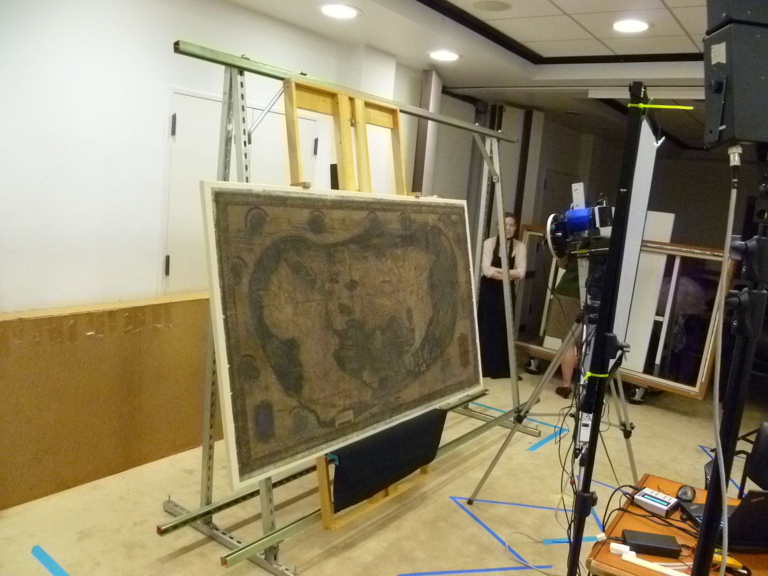
Hard day's night

Researchers take multispectral images of the map at Yale University's Beinecke Library.
[Read more about the 1491 map]
Sign up for the Live Science daily newsletter now
Get the world’s most fascinating discoveries delivered straight to your inbox.

Laura is the archaeology and Life's Little Mysteries editor at Live Science. She also reports on general science, including paleontology. Her work has appeared in The New York Times, Scholastic, Popular Science and Spectrum, a site on autism research. She has won multiple awards from the Society of Professional Journalists and the Washington Newspaper Publishers Association for her reporting at a weekly newspaper near Seattle. Laura holds a bachelor's degree in English literature and psychology from Washington University in St. Louis and a master's degree in science writing from NYU.


