Lassen Volcanic National Park: The West’s Most Beautiful, Least-Visited Wonderland (Photos)
Southernmost active volcano
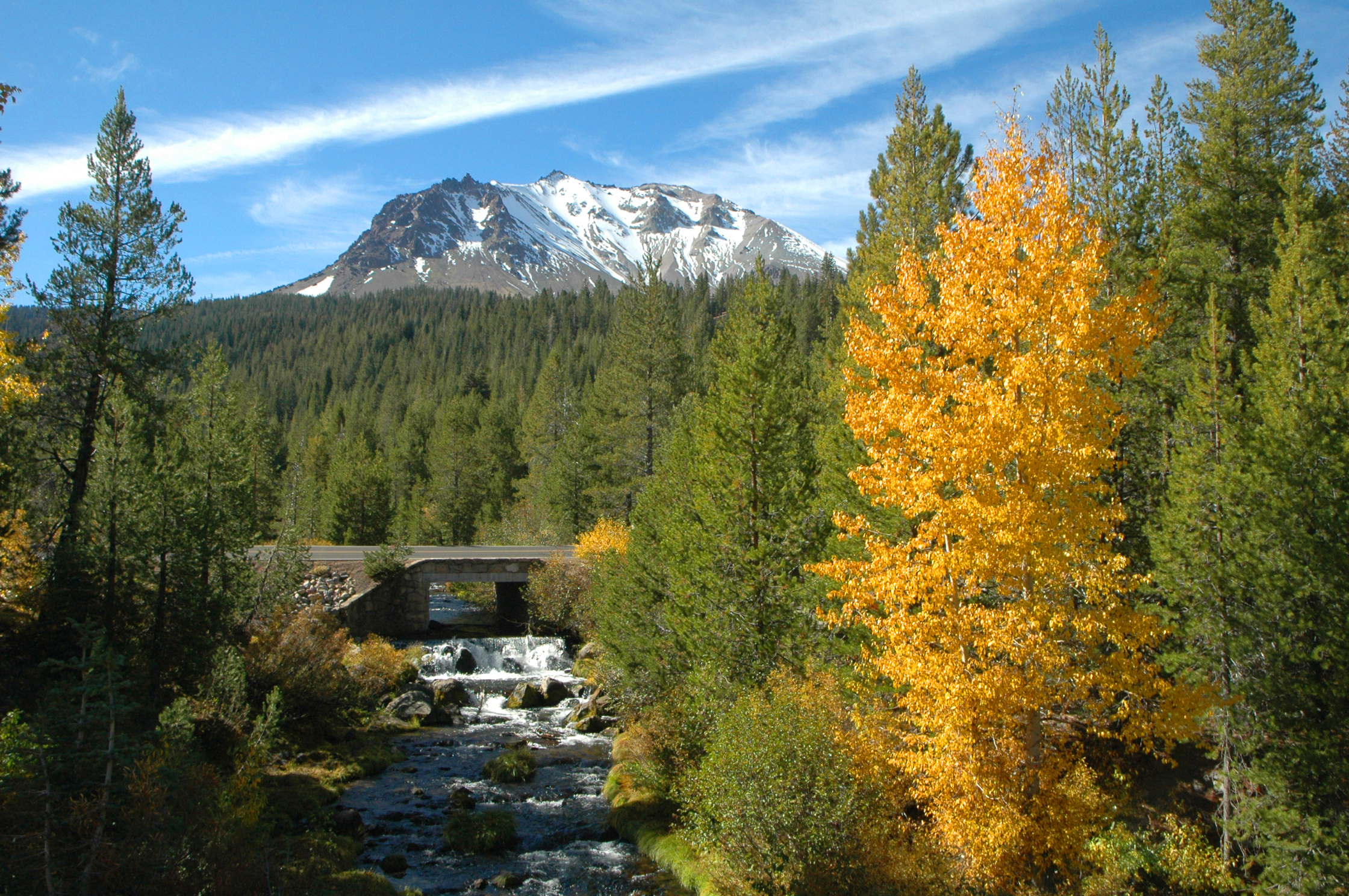
Lassen Peak, shown here, is the southernmost active volcano in the Cascade Mountain Range of western North America, extending from southern British Columbia to northern California. This vast range is a part of the Cascade volcanic arc, which formed when the Juan de Fuca tectonic plate collided with and slowly slid under the western edge of the North American plate. Westward of this plunging plate, magma has risen to the surface, resulting in a vast volcanic landscape ranging in age from the Miocene to Holocene epochs.
Plug dome
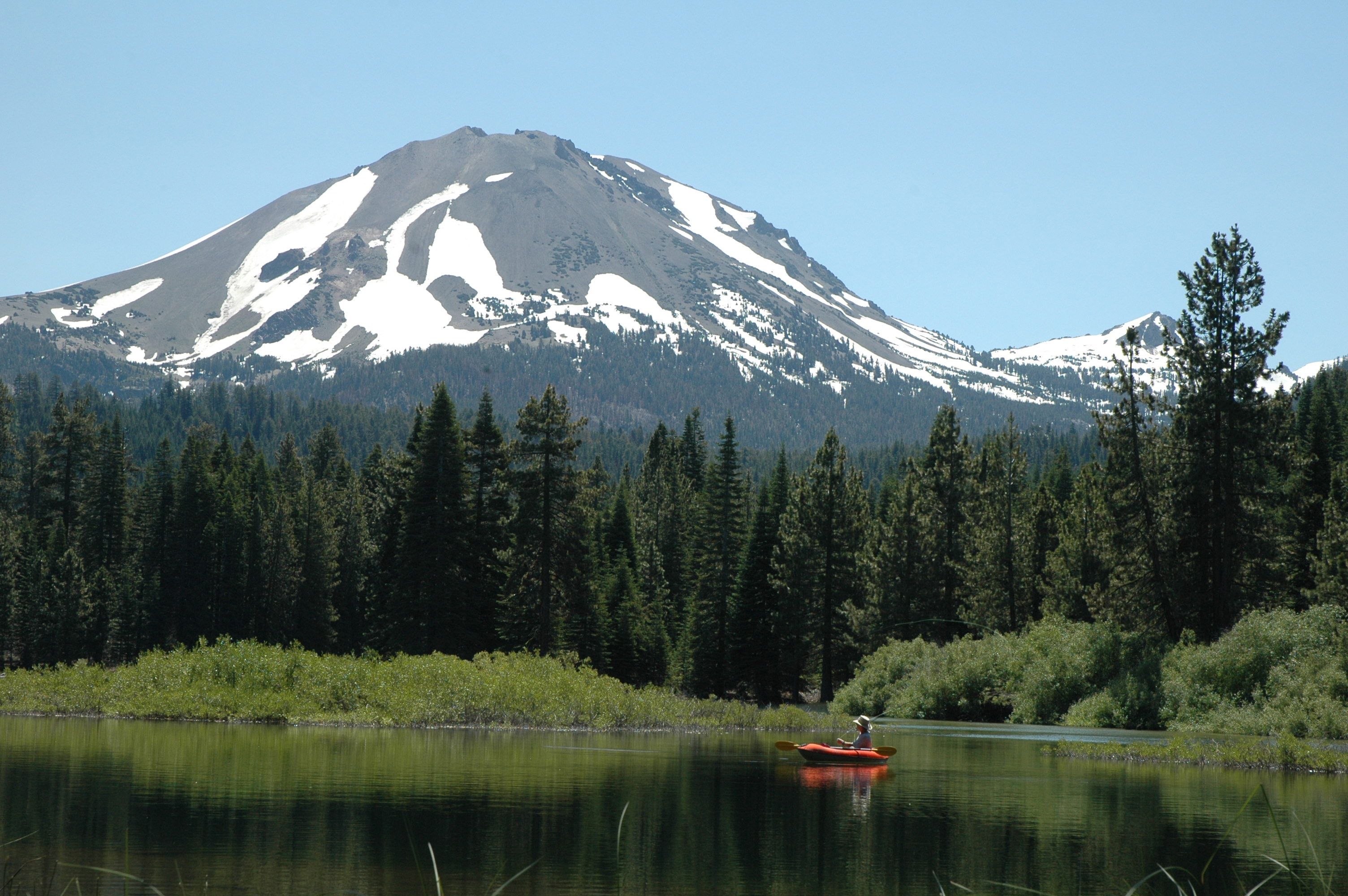
Lassen Peak is one of the largest plug dome volcanoes in the world and is a part of the "Ring of Fire" — the worldwide circle of active volcanoes that surrounds the Pacific Ocean. It was last active during a series of eruptions between 1914 and 1917. The large magma chamber under the local region results in a wide and unusual series of hydrothermal features, including mud pots, boiling pools and fumaroles (steam vents). Such wide and active geothermal features indicate an ongoing potential for future volcanic eruptions of all the Cascade volcanoes.
Named for ...
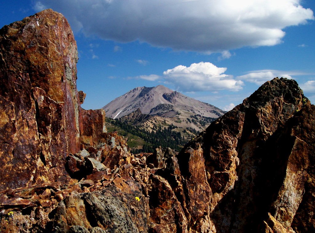
Lassen Peak is named after Danish immigrant Peter Lassen, who came to California in 1840 and became a pioneering rancher in this rugged northeastern California area. Across the Lassen Peak area, small to moderate-rated eruptions that result in basaltic lava flows and regional ash falls are most common. Cinder cones can typically rise as high as 1,000 feet (305 m), while lava can cover several square miles and ash can collect to a depth of several feet. Lassen Peak is somewhat atypical, as it rises some 2,000 feet (610 m) above its surroundings at an elevation of 10,457 feet (3,187 m).
The Great Explosion
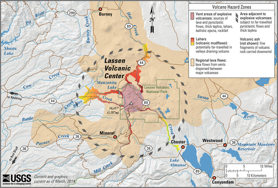
Lassen Peak is the largest of more than 30 dome volcanoes that have erupted in this specific region of North America over the past 825,000 years. Its last eruption began in 1914 and included the "Great Explosion" on May 22, 1915, which produced a volcanic cloud of ash that rose more than 40,000 feet (12,000 m) into the atmosphere. A massive pyroclastic flow of hot gas and tephra devastated the nearby region, spreading volcanic ash as far as 280 miles (450 m) eastward. When the eruptions ended in 1921, Lassen Peak remained with a volume of over 0.6 cubic miles (2.5 cubic km), making it the largest lava dome on Earth. To preserve this ancient volcanic wonderland, President Theodore Roosevelt in 1907 designated two separate national monuments — the Cinder Cone National Monument and the Lassen Peak National Monument. On Aug. 9, 1916, the two national monuments were combined to create Lassen Volcanic National Park.
Volcanoes and wildflowers
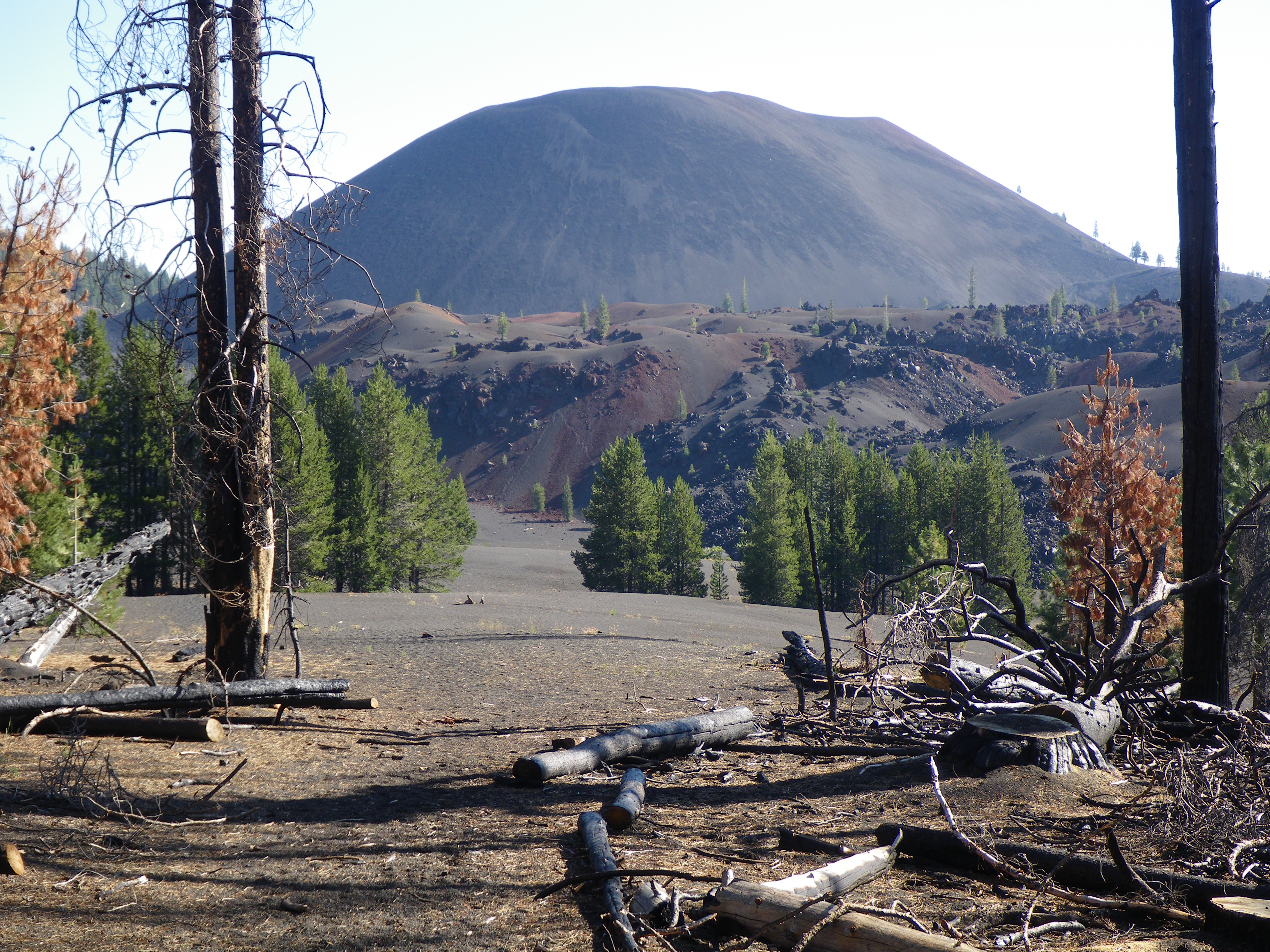
Lassen Volcanic National Park spans some 106,452 acres (430.80 square kilometers) of volcanic landscape interspersed with wildflower-filled meadows, clear mountain lakes and more than 150 miles of scenic hiking trails. Within the park, visitors will find four categories of volcanoes found around the world — the shield, the composite, the cinder cone and the plug dome volcanoes. Shown here, one of the spectacular cinder cone volcanoes found within the national park that is aptly named Cinder Cone.
Cinder cone
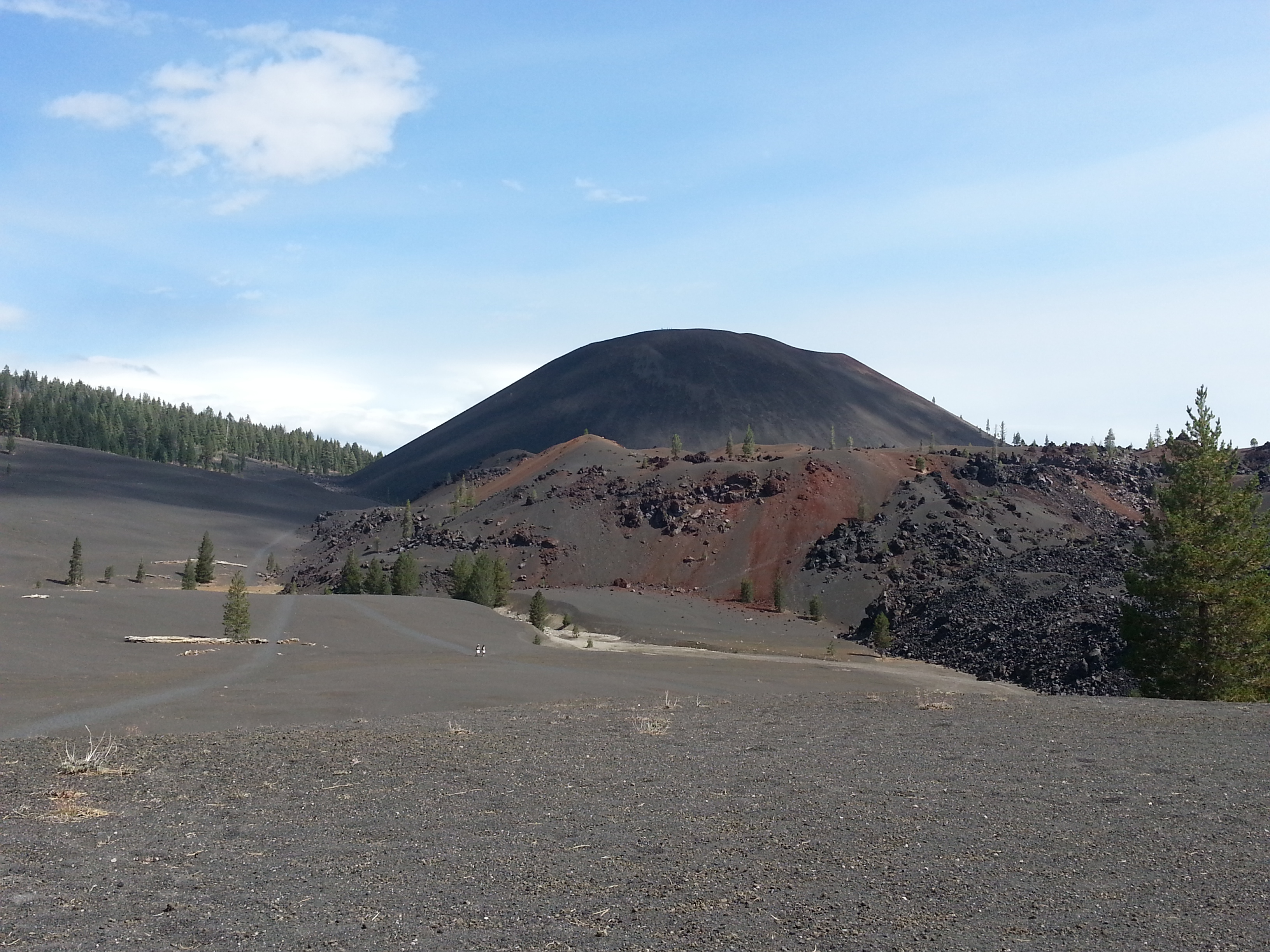
The summit of Cinder Cone rises some 700 feet (215 m) above its local landscape. It is composed of loose scoria — a type of volcanic rock that forms when blobs of gas-charged lava are launched into the air during an eruption and cool while still in flight, falling back to the Earth as dark volcanic rock containing many cavities created by trapped gas bubbles. There are actually two scoria cones at Cinder Cone with the remnants of the oldest cone being nearly buried. The summit of Cinder Cone has a unique crater composed of a double rim. Tree-ring dating evidence suggests that the eruption that created Cinder Cone occurred in the latter half of the 17th century. Ash and lava flow from this eruption have been discovered and identified some 10 miles from the volcanic cone.
Painted Dunes
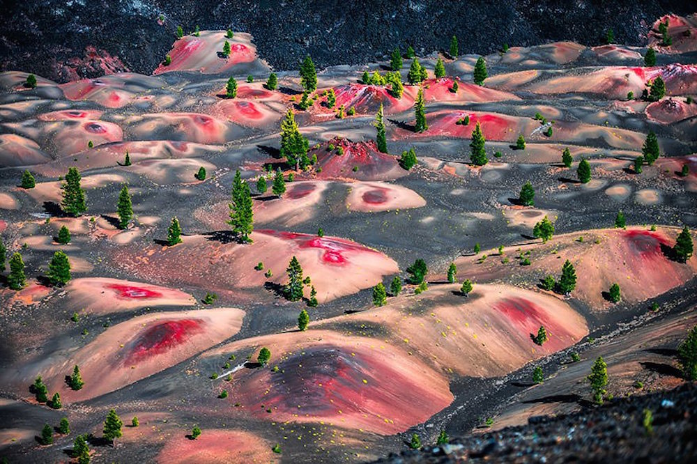
One of the most splendid landscapes at Lassen Volcanic National Park, the Painted Dunes lie just southwest of Cinder Cone. These colorful pumice fields are the result of falling volcanic ash being oxidized. The ash was so dramatically and colorfully oxidized because it fell on a lava flow that was still extremely hot. The Painted Dunes of Lassen Volcanic National Park must surely be near the top of the list of nature's most spectacular and beautiful masterpieces.
Sign up for the Live Science daily newsletter now
Get the world’s most fascinating discoveries delivered straight to your inbox.
Fantastic Lava
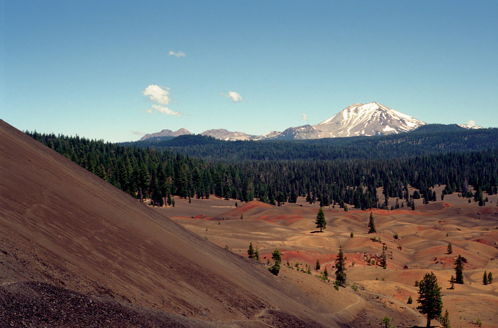
Another view, shown here, shows the Painted Dunes from the western side of Cinder Cone looking southwest toward Lassen Peak some 10 miles (16 km) in the distance. The Painted Dunes are a small part of a larger lava flow area known as the Fantastic Lava Beds, which covered the area, damming creeks and creating both Snag Lake and Butte Lake. Additional lava flows added to the Fantastic Lava Beds, but they finally burst through the southern flank of Cinder Cone resulting in the plugging of Cinder Cone's crater and ultimately resulting in the extinction of Cinder Cone.
Bumpass Hell
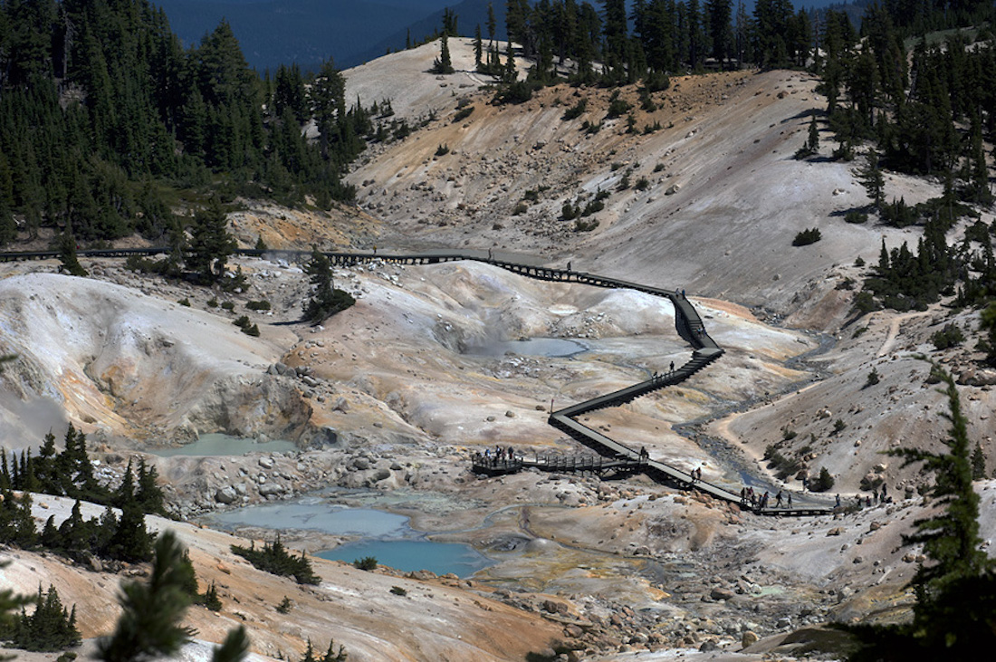
The volcanic nature of Lassen Volcanic National Park can be experienced today by walking through Bumpass Hell. This 16 acres (6.5 hectares) of boiling springs, mud pots and roaring fumaroles is a perfect spot to watch volcanism in action. The area is named after early cowboy Kendal Vanhook Bumpass who in 1865 broke through the thin crust above a boiling mud pot while giving a tour to local newspaper reporters. Bumpass badly scalded his leg, which was soon amputated. Bumpass Hell is located within the caldera and near what was once the central vent of the ancient stratovolcano called Mount Tehama. During its peak activity, some 500,000 years ago, Mount Tehama rose about 11,000 feet (3,350 m) above the landscape. Walking through Bumpass Hell is one of the most popular activities for those visiting Lassen Volcanic National Park.
Glacial remains
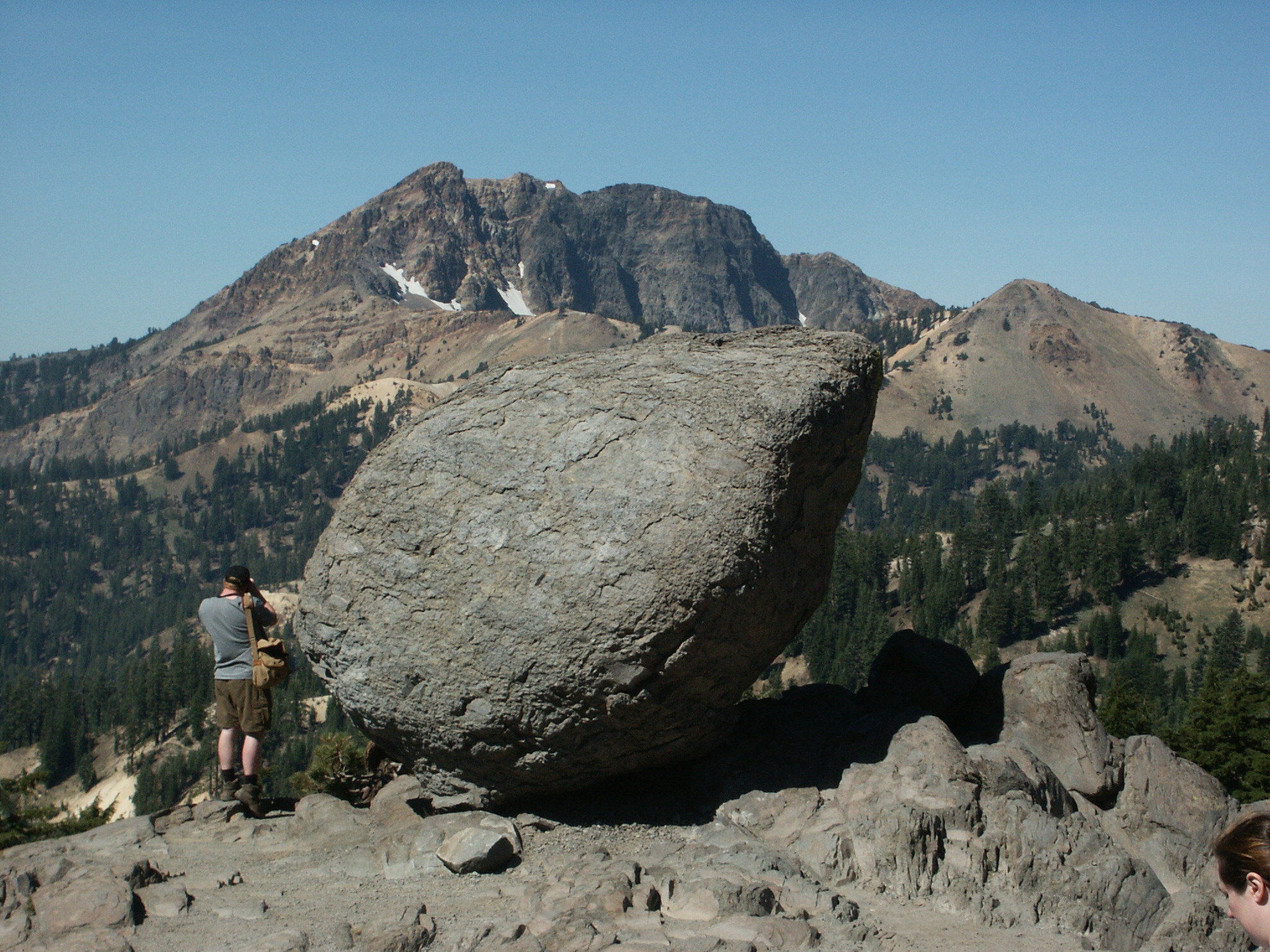
Glaciation is also a part of the geological history of Lassen Volcanic National Park. Even though no glaciers remain in the park today, this land was covered at least five different times during the ice ages of the Pleistocene epoch. Glacial moraines and outwash deposits, U-shaped valleys and cirques (amphitheater-like valleys) are found throughout the park. Pleistocene glaciation deepened major park valleys, removed bedrock and enlarged hundreds of lake basins. The slow-moving glaciers scattered clay, silt, sand, gravel and boulders throughout the park region. One such boulder, distributed by the glaciers, is shown here.
Crystal clear
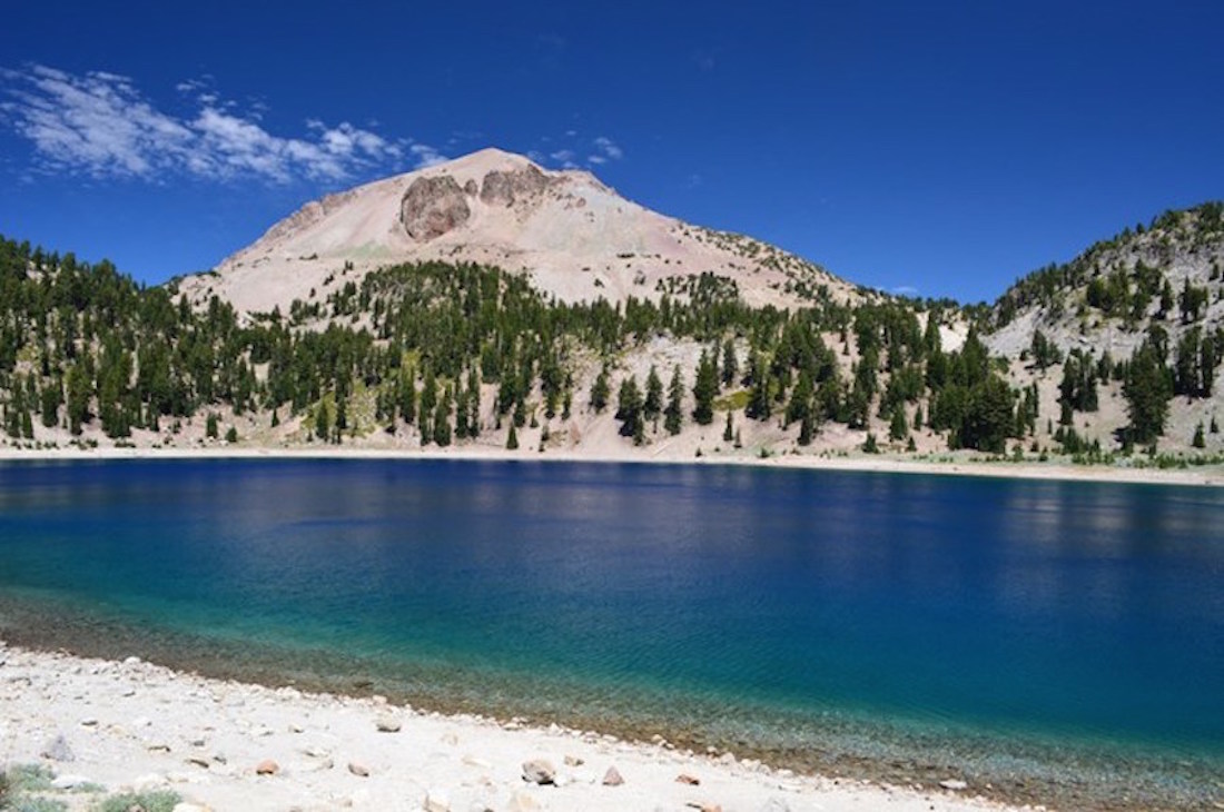
Lake Helen is one of 13 lakes and ponds found within the national park. This beautiful, blue glacial lake was formed in a glacial cirque (a half-open steep-sided hollow at the head of a valley or on a mountainside, formed by glacial erosion) at an elevation of 8,200 feet (2,500 m). Located near the base of Lassen Peak, the waters of Lake Helen are crystal clear and reach of depth of 110 feet (33.5 m). Boaters on the lake, looking down, gaze through clear-blue water that appears to descend forever.
