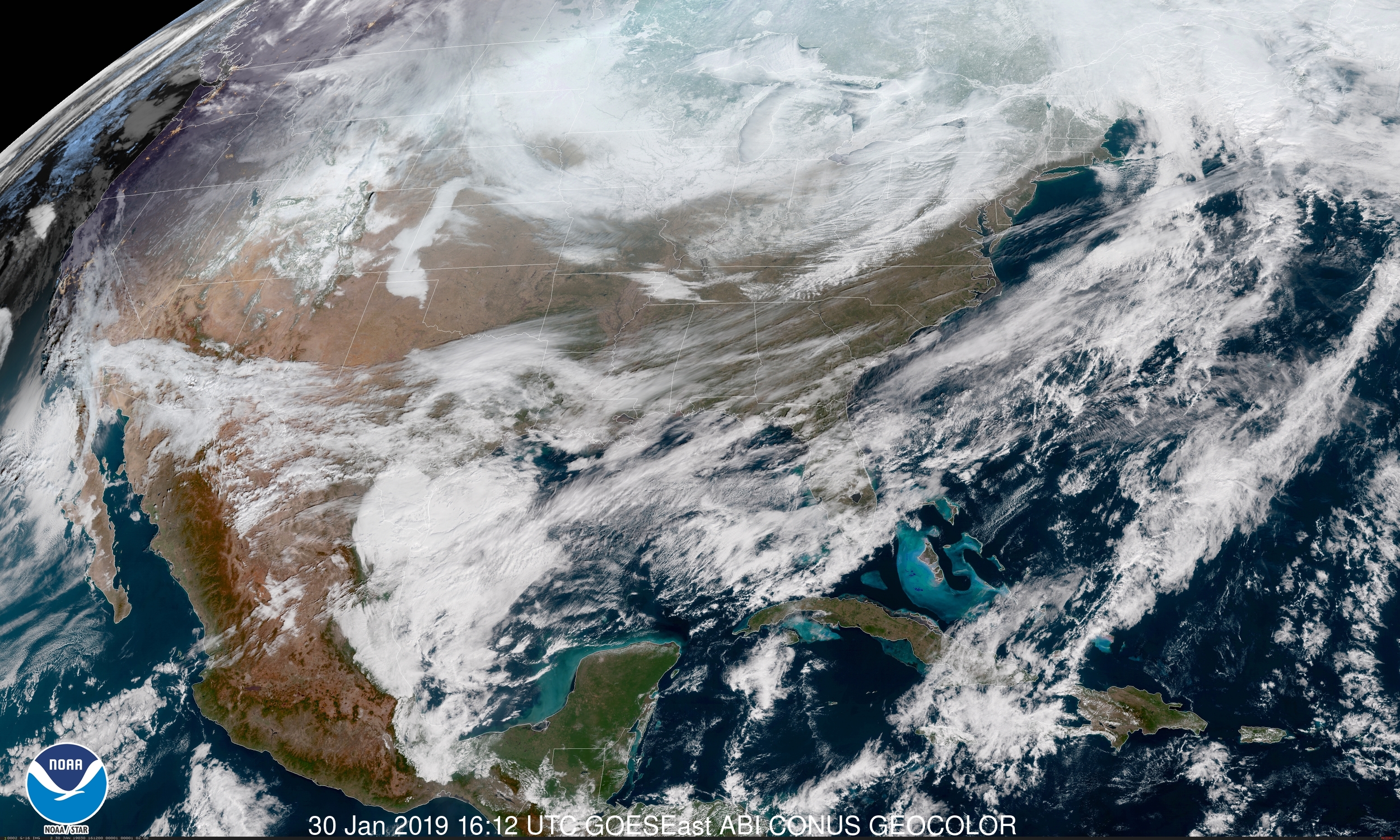
Watch the Polar Vortex Cast Its Chill Over North America in This Satellite's-Eye View
An instrument called Atmospheric Infrared Sounder, or AIRS, on the Aqua satellite has been measuring the temperature of air masses across the United States. Aqua itself launched in 2002 and carries a half dozen different instruments designed to study parts of the water cycle, including evaporation, cloud formation and precipitation.
The AIRS instrument focuses on temperature measurements, making it a helpful tool for looking at this week's frigid weather and its cause, the so-called polar vortex phenomenon in which cold Arctic air sneaks farther south than usual.

The new NASA visualization of the instrument's data shows measurements gathered between Jan. 20 and Jan. 29. Temperatures as low as minus 40 degrees Fahrenheit (minus 40 degrees Celsius) are on display in purple, and can be seen stretching as far south as South Dakota, Iowa and northern Illinois. Everything in pale blue and "colder" colors represents temperatures below the freezing point of water, 32 degrees Fahrenheit (0 degrees Celsius).
If you live in the regions currently subject to this frigid air, be sure to bundle up and keep an eye on local weather forecasts until the cold retreats.
Email Meghan Bartels at mbartels@space.com or follow her @meghanbartels. Follow us @Spacedotcom and Facebook. Original article on Space.com .
Sign up for the Live Science daily newsletter now
Get the world’s most fascinating discoveries delivered straight to your inbox.
Meghan is a senior writer at Space.com and has more than five years' experience as a science journalist based in New York City. She joined Space.com in July 2018, with previous writing published in outlets including Newsweek and Audubon. Meghan earned an MA in science journalism from New York University and a BA in classics from Georgetown University, and in her free time she enjoys reading and visiting museums. Follow her on Twitter at @meghanbartels.


