What's Behind the Massive Midwestern Floods: 2 Giant Waves of Water
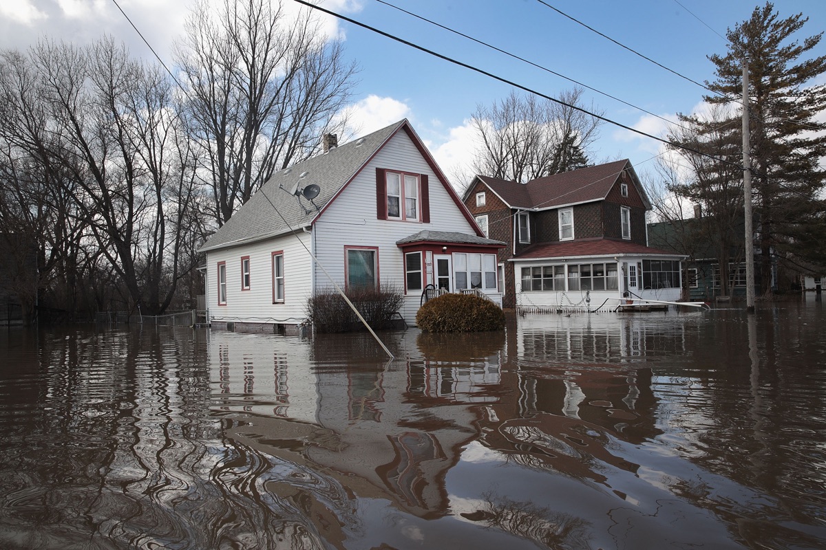
Historic floods across the Midwest have left three dead, prompted mass evacuations, and drowned cities.
The floods aren’t isolated incidents, however: Two giant waves of water are rolling down from the country's far-northern middle expanse. One wave is following the path of the Missouri River toward the Mississippi River, carrying with it big chunks of ice. The second wave is taking a similar path down the Mississippi River from Minnesota. Both are the result of a long winter of heavy snowfall in Minnesota and the Dakotas followed by a short, sharp melt.
Both floods are more or less each one giant wave traveling at the speeds of their rivers, said Darone Jones, director of the Water Prediction Operations Division (WPOD) at the National Weather Service’s National Water Center (NWC) in Alabama.
The North Dakota wave traveled down the Missouri River to Nebraska and yesterday (March 18) reached northwestern Missouri. After passing Kansas City it will turn left, following the river, and make its way toward the joining of the Missouri and Mississippi rivers in St. Louis. [Top 10 Ways to Destroy Earth]
The Minnesota wave is taking the more straightforward route down the Mississippi River through Iowa, past St. Louis and into the ocean. Along the way, both waves should lose some water, so the downstream floods may not be as intense as those upstream.
It takes about 28 days for a drop of water originating in North Dakota to make its way down the Missouri River to the ocean, Jones told Live Science. This series of floods is the result of excess water swelling the northern stretches of the Missouri River following a sudden melting event last week.
Snowpack, melting
The WPOD has known that there was a lot of potential meltwater in the northern Midwest in the form of snowpack, Jones said. The whole region had a very rough winter.
Sign up for the Live Science daily newsletter now
Get the world’s most fascinating discoveries delivered straight to your inbox.
(Figuring out how much potential meltwater there is isn't just a matter of seeing how high the snow is piled, but weighing it, Jones added. Light, fluffy snow doesn't produce as much water when it melts as heavier, more tightly packed snow.)
Indeed, the NWC has a spring flooding forecast due for release at the end of this week that will warn (perhaps too late) that this winter dumped a lot of heavy snow in the northern Plains and Midwest, creating significant flooding risks. But the extent of flooding is a factor of how fast the snow melts, not just how much snow is up there, Jones said.
Thanks to a strong storm system last week, the snow is melting very fast. That storm dumped heavy snow on Colorado and then turned into rain over North Dakota and Minnesota, Jones said. That rain was very cold, but still warm enough to trigger a sudden snowmelt. Ultimately, a couple inches of rainwater across a wide area combined with several inches of snowmelt to produce this intense flood wave.
And the chunks of ice in the flood make things worse, Jones said. Periodically, they clump up as the flood moves south, creating temporary ice dams. Those dams cause water to back up behind them, worsening the flooding before they break and release the wave again.
Forecasters aren't sure yet just how bad this flood season will be, Jones added. That depends a lot on whether there are many more sudden melting events like the one that caused this wave, he said, or whether the region has a chance to warm slowly.
- 12 Strangest Sites on Google Earth
- Mightiest Floods of the Mississippi River
- Gallery: Most Famous Waterfalls in the US
Originally published on Live Science.

