Drones Find Unexpected Radiation 'Hotspots' in Forest Near Chernobyl
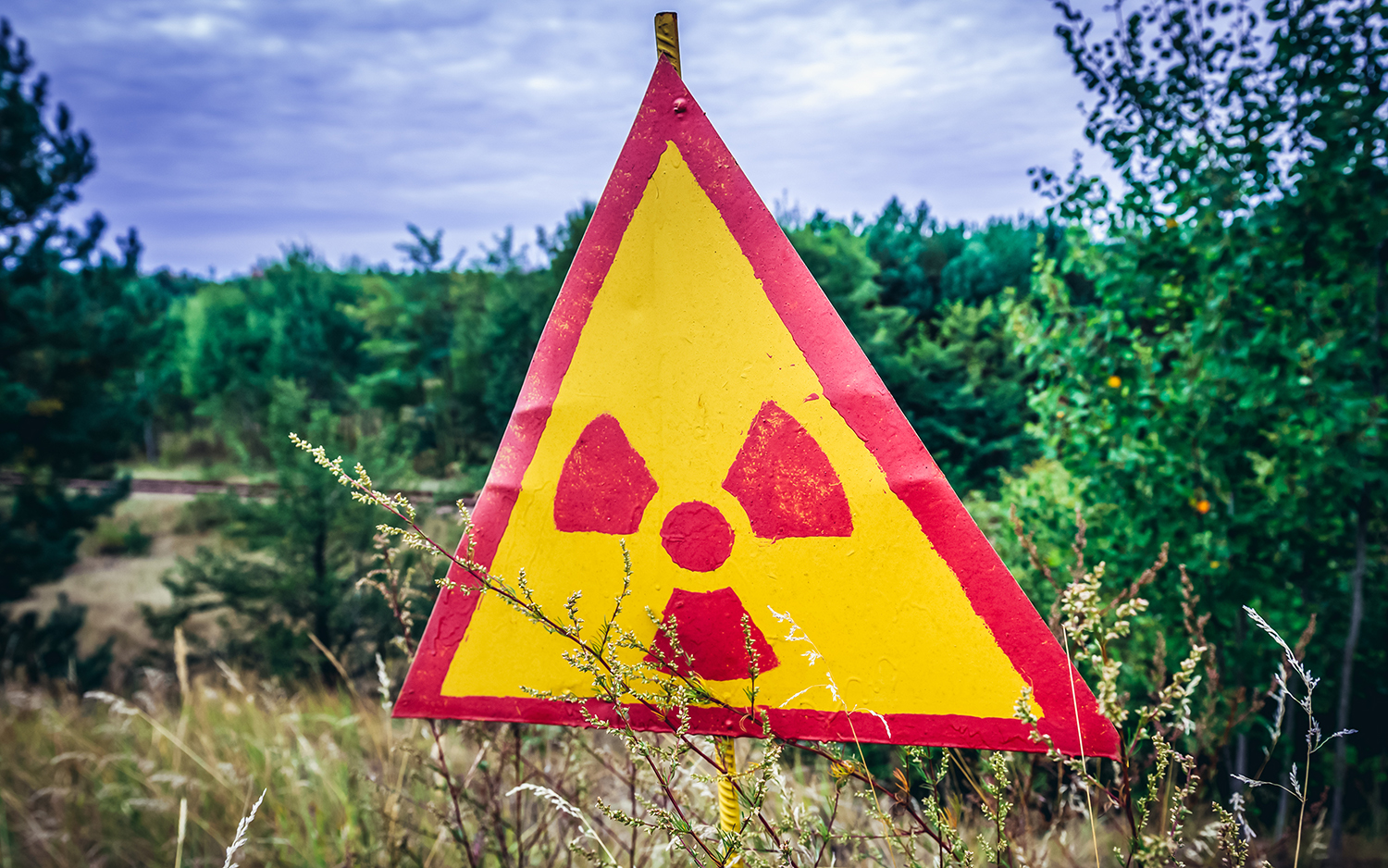
Near ground zero of the catastrophic 1986 explosion at the Chernobyl Nuclear Power Plant, aerial drones recently revealed radioactive hotspots that aren't on official maps.
An interdisciplinary team flew special drones over Ukraine's Red Forest, one of the most radioactive spots in the world, which is located 0.3 miles (500 meters) from the Chernobyl complex, University of Bristol (UB) representatives announced in a statement.
Using data from the drone observations, the UB scientists, who are part of the National Centre for Nuclear Robotics (NCNR), created the most detailed map to date of radiation in the forest. They also pinpointed previously unsuspected locations where contamination was unusually intense, according to the statement. [See Images of Chernobyl, Frozen in Time]
The researchers deployed fixed-wing drones, flying 50 missions over the forest over 10 days and mapping a grid over an area measuring about 6 square miles (15 square kilometers). First, drones used a remote-sensing method called lidar — light detection and ranging — to create 3D maps of the terrain. Then, lightweight gamma spectrometers scanned for signatures of radioactive decay.
Radiation contamination in the Red Forest was already known to be higher overall than in any other natural site on Earth. Nevertheless, the scientists found that radioactivity there was unevenly distributed. While radiation had subsided in some areas, others maintained contamination levels that were dangerously high, project leader Tom Scott, a professor at the UB School of Physics, told British television network ITV.
They detected one unexpected hotspot in the ruins of a facility that performed soil separation during cleanup efforts after the accident, the BBC reported. Spent nuclear fuel in the abandoned building was emitting so much radiation that exposure for just a few hours would dose a person with as much radiation as is normally absorbed over an entire year, Scott told the BBC.
And certain radioisotopes that were identified in the Red Forest have very long half lives (the time required for half of their atomic nuclei to decay), "so they're going to be around for a long time," Scott told ITV.
Sign up for the Live Science daily newsletter now
Get the world’s most fascinating discoveries delivered straight to your inbox.
For decades after the accident, the Chernobyl exclusion zone — an area about 1,660 square miles (4,300 square km) around the nuclear complex — was so toxic that nearly all of it was strictly off-limits to people (though wildlife continued to thrive there). But as the radioactivity dissipated, parts of the zone have been opened to tourists, ITV reported.
The recent expedition to the Red Forest was the first in a series of surveys that NCNR will conduct in Ukraine over the next year, and the new maps it is making will help officials to prevent risks to visitors, according to the statement.
- Chernobyl Nuclear Disaster 25 Years Later (Infographic)
- The Top 10 Ways to Destroy Planet Earth
- Fire and Fury: How to Survive a Nuclear Attack
Originally published on Live Science.

Mindy Weisberger is an editor at Scholastic and a former Live Science channel editor and senior writer. She has reported on general science, covering climate change, paleontology, biology and space. Mindy studied film at Columbia University; prior to Live Science she produced, wrote and directed media for the American Museum of Natural History in New York City. Her videos about dinosaurs, astrophysics, biodiversity and evolution appear in museums and science centers worldwide, earning awards such as the CINE Golden Eagle and the Communicator Award of Excellence. Her writing has also appeared in Scientific American, The Washington Post and How It Works Magazine. Her book "Rise of the Zombie Bugs: The Surprising Science of Parasitic Mind Control" will be published in spring 2025 by Johns Hopkins University Press.
