The Science Behind Washington's Scary 'Flash Flood Emergency'

"TURN AROUND DON'T DROWN!"
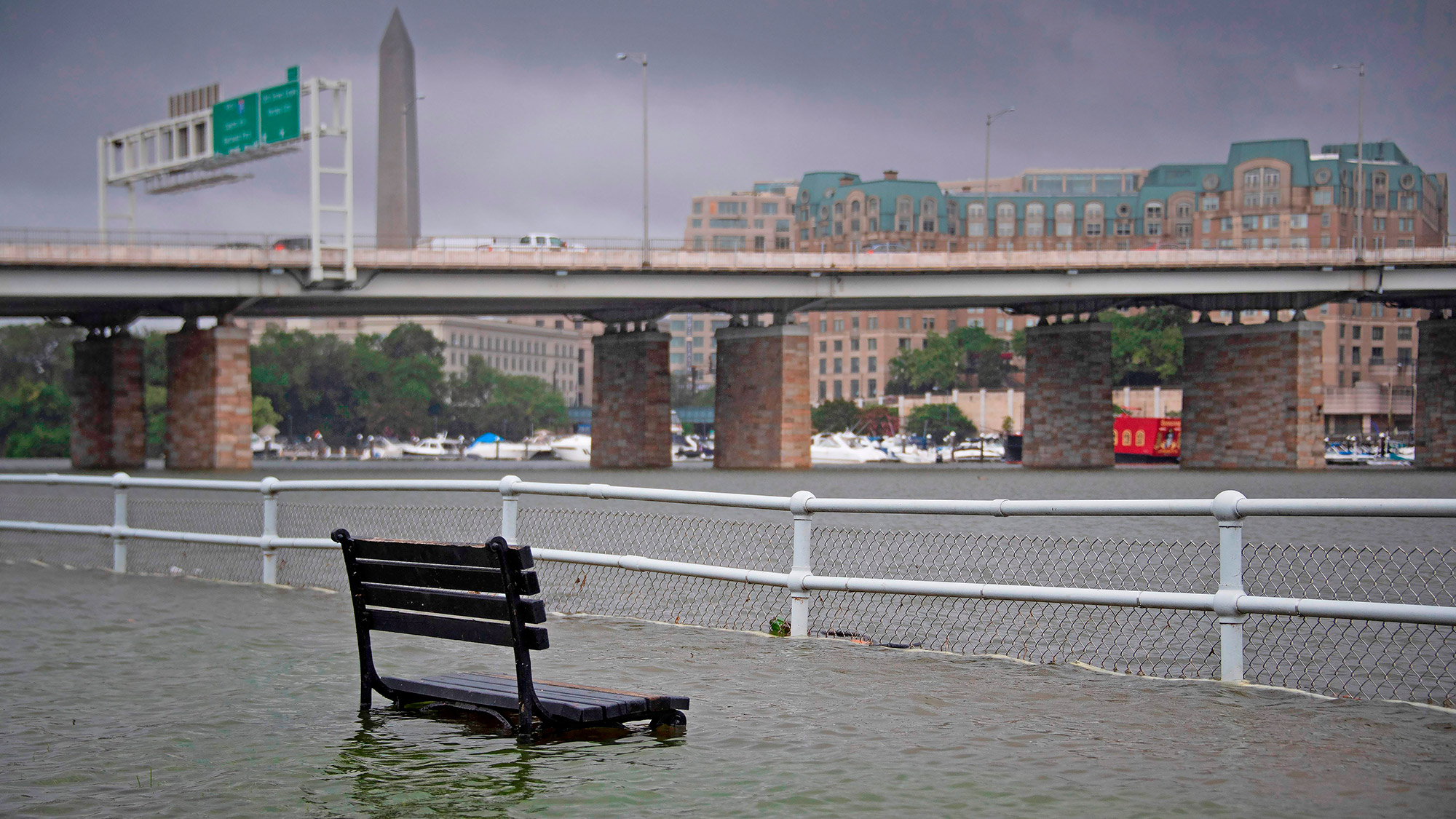
That was the all-caps message the D.C./Baltimore National Weather Service (NWS) issued today (July 8) as surging water engulfed roads and stranded drivers — requiring multiple water rescues. The severe flooding prompted the office to issue a somewhat unusual "flash flood emergency" declaration in Washington D.C. and its Virginia suburbs. That's one step up from the somewhat more common "flash flood warning."
Locals posted images and videos to social media of intense flooding across the region. [In Images: Extreme Weather Around the World]
Even the White House basement reportedly flooded.
A slow-moving, hard-pounding cluster of storms was responsible for the high waters, according to Cody Ledbetter, a NWS forecaster in the Virginia-based D.C./Baltimore office.
Those storms were part of a hot, wet air mass — called a boundary layer — that formed near the northern tip of the state near the West Virginia border and flowed south and east toward the capital.
"We had lots of reports of 3 to 5 inches [of rainfall] across the region, from Frederick city [in western Maryland] to D.C., and even some reports a bit higher than that," Ledbetter told Live Science.
Sign up for the Live Science daily newsletter now
Get the world’s most fascinating discoveries delivered straight to your inbox.
The critical factor for turning all that rain into a flood was the speed with which it fell, he said.
"It fell in the span of two hours or less. There's no way the ground could keep up with that. It was coming down way too fast for the ground to be able to soak any of it up," he said. "So it flows pretty much immediately into streams, rivers. That causes them to rise pretty quickly and overtake roadways."
The good news, he said, is that flash floods should abate within hours as the rain stops and water flows downriver. In the meantime, the NWS is urging residents to avoid dangerous flooded roads, and find alternate routes to avoid stranding or drowning.
- Earth from Above: 101 Stunning Images from Orbit
- Photos: The Tornado Damage Scale In Images
- Hurricanes from Above: Images of Nature's Biggest Storms
Originally published on Live Science.


