Better Predictions for Hurricanes' Deadly Storm Surges

Furious winds that blow debris and topple trees tend to dominate images of hurricanes on the news, but the powerful walls of seawater these winds push ashore are often the most destructive part of the storms. They're also difficult to predict.
But new, more direct measurements of storm surges, detailed in the March 23 issue of Science, could help meteorologists improve forecasts and warnings and thereby reduce the damage wrought by hurricanes.
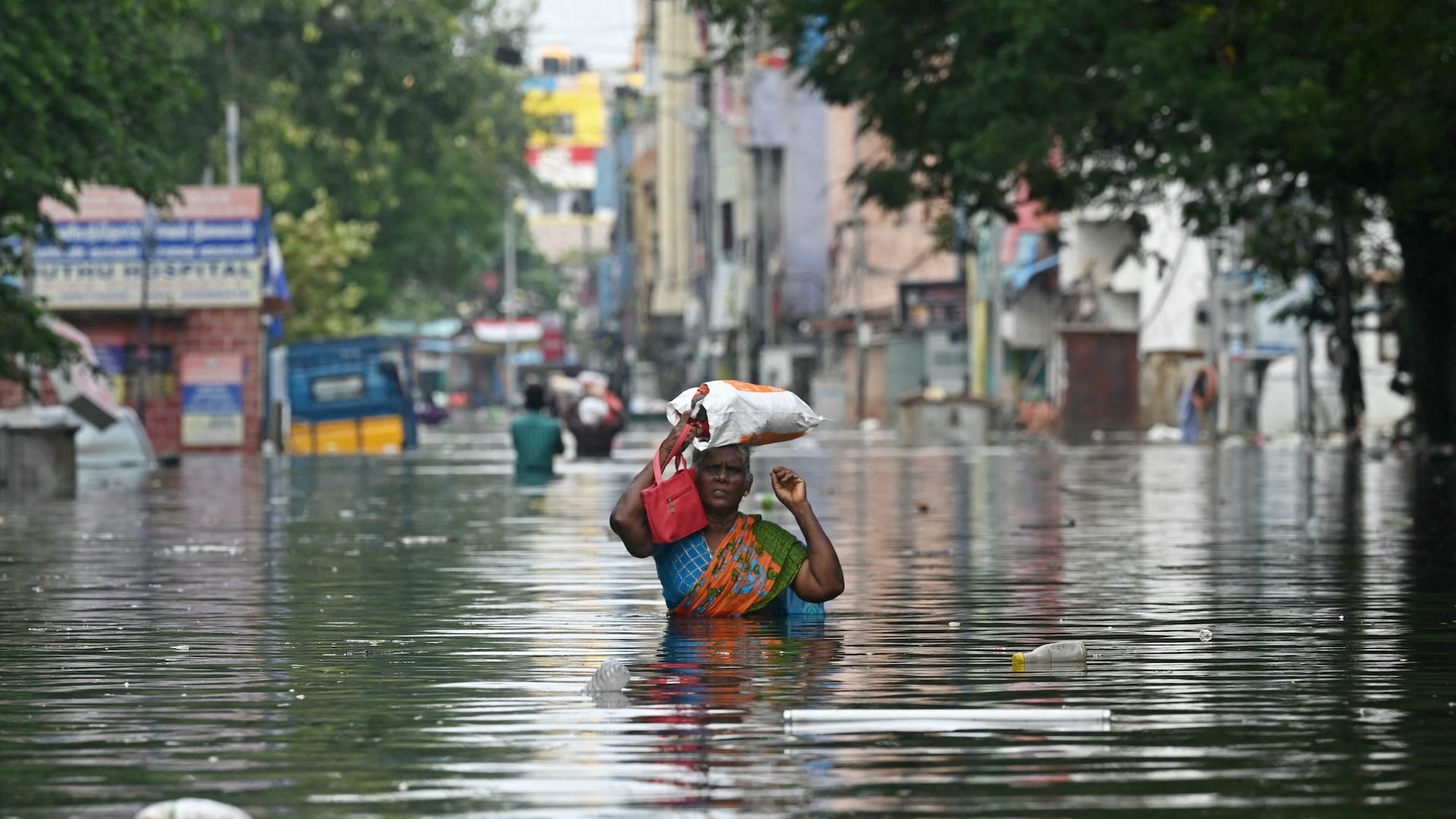
As a hurricane travels over the ocean, its strong winds push against the water's surface, causing it to pile up higher than the sea's ordinary level. As the hurricane makes landfall, the water is pushed onshore and can quickly wash many miles inland, destroying homes and businesses. This so-called storm surge accounts for the majority of hurricane deaths.
The storm surge from Hurricane Katrina was estimated to have reached heights of 24 to 28 feet along a 20-mile swath of the Gulf Coast and washed up to 12 miles inland, devastating the Mississippi coast.
Storm surge can build for hours as a hurricane approaches, but the bulk of it usually comes as a sudden rush of water that can quickly submerge low-lying coastal areas, washing away cars and trees and flooding buildings.
Storm surge predictions are usually made from estimates of surface wind speeds and turbulence under the hurricane, which tell how much drag (or the amount of push) the wind has on the water--the more drag, the higher the surge.
But ocean spray and breaking waves can interfere with measurements, making the estimates of drag inaccurate.
Sign up for the Live Science daily newsletter now
Get the world’s most fascinating discoveries delivered straight to your inbox.
Ivan improves measurements
As Hurricane Ivan moved over the northeastern Gulf of Mexico just before making landfall in September 2004, it passed over instruments sitting on the ocean floor belonging to a group of Naval Research Laboratory scientists. Amazingly, the moorings survived the hurricane and provided the scientists with valuable data from the ocean perspective of storm surge.
From measurements of the velocity of the ocean current directly under the hurricane, the scientists found that the energy transfer between wind and water reaches a maximum when a storm's wind speeds reach about 72 mph (the speed around which a storm is just beginning to become a hurricane).
So for speeds less than 72 mph, the higher the wind speed, the more drag it created, but above 72 mph, the waves begin to break and cause the hurricane to lose its hold on the ocean surface.
"A decreasing drag at high winds seems to be related to the sea spray, foam and bubbles from the breaking seas that would reduce the drag of the hurricane as it prowls over the ocean surface," said study team member William Teague. "In effect, it would allow the hurricane to slip over the sea."
This smaller estimate of drag can be fed into computer models for more accurate predictions of storm surge, though other factors are also important for forecasts, Teague said. With more accurate forecasts, meteorologists can better warn coastal residents of the dangers they face from hurricanes, hopefully saving lives.

Andrea Thompson is an associate editor at Scientific American, where she covers sustainability, energy and the environment. Prior to that, she was a senior writer covering climate science at Climate Central and a reporter and editor at Live Science, where she primarily covered Earth science and the environment. She holds a graduate degree in science health and environmental reporting from New York University, as well as a bachelor of science and and masters of science in atmospheric chemistry from the Georgia Institute of Technology.


