Interactive Map Shows Deadliest U.S. Roads

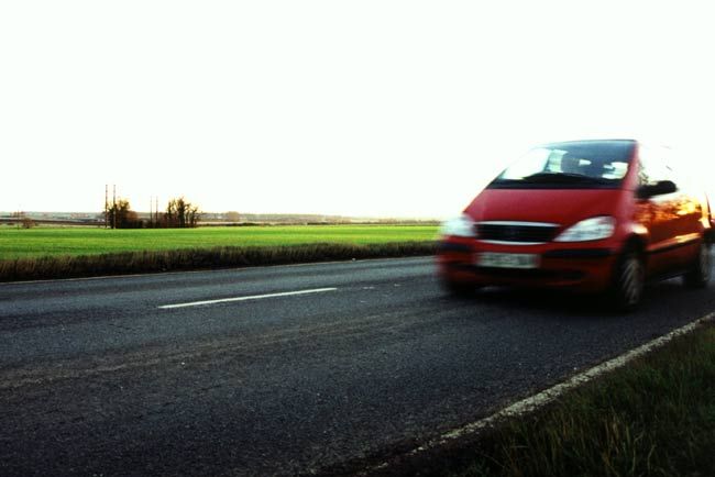
Rural highways are some of the deadliest in the country, studies have shown, so some researchers have created a new interactive map that drivers can use to see exactly how safe — or fatal — the roads are where they live. Driving is one of the most dangerous activities people engage in; the lifetime risk of dying in a motor vehicle accident for U.S residents is 1-in-100. About 57 percent of highway deaths happen on rural roads, according to the Federal Highway Administration. To help educate drivers on the hazards they might face on the road, researchers at the University of Minnesota's Center for Excellence in Rural Safety (CERS) have mapped out every fatality in the nation at www.saferoadmaps.org. The researchers plan to unveil the new Web site Monday at an annual conference on rural safety in Santa Rosa, Calif. Drivers can enter their address and are then shown a map or satellite image of all the road fatalities in their area. "When drivers type in their most common routes, they're shocked how much blood is being shed on it," said Tom Horan, research director for CERS. Web site users can narrow down the search to see the age of the driver, whether speeding or drinking was a factor in the accident, and if the driver was wearing a seatbelt. "When it's a route you or your loved ones use, the need to buckle up, slow down and avoid distractions and drinking suddenly becomes much more personal and urgent," Horan said. The new tool also lets users know what policies, such as strong seatbelt laws, are in place in the area. Last year, CERS researchers tabulated the 10 states that have the highest proportion of accidents occurring on rural roads.
- Video: How to Safely Jack Up a Car
- 10 Easy Paths to Self Destruction
- Is Flying Safer Than Driving?
Sign up for the Live Science daily newsletter now
Get the world’s most fascinating discoveries delivered straight to your inbox.


