Arthur becomes the Atlantic's 1st named tropical storm of 2020
Satellites have now spotted the churning cyclone.
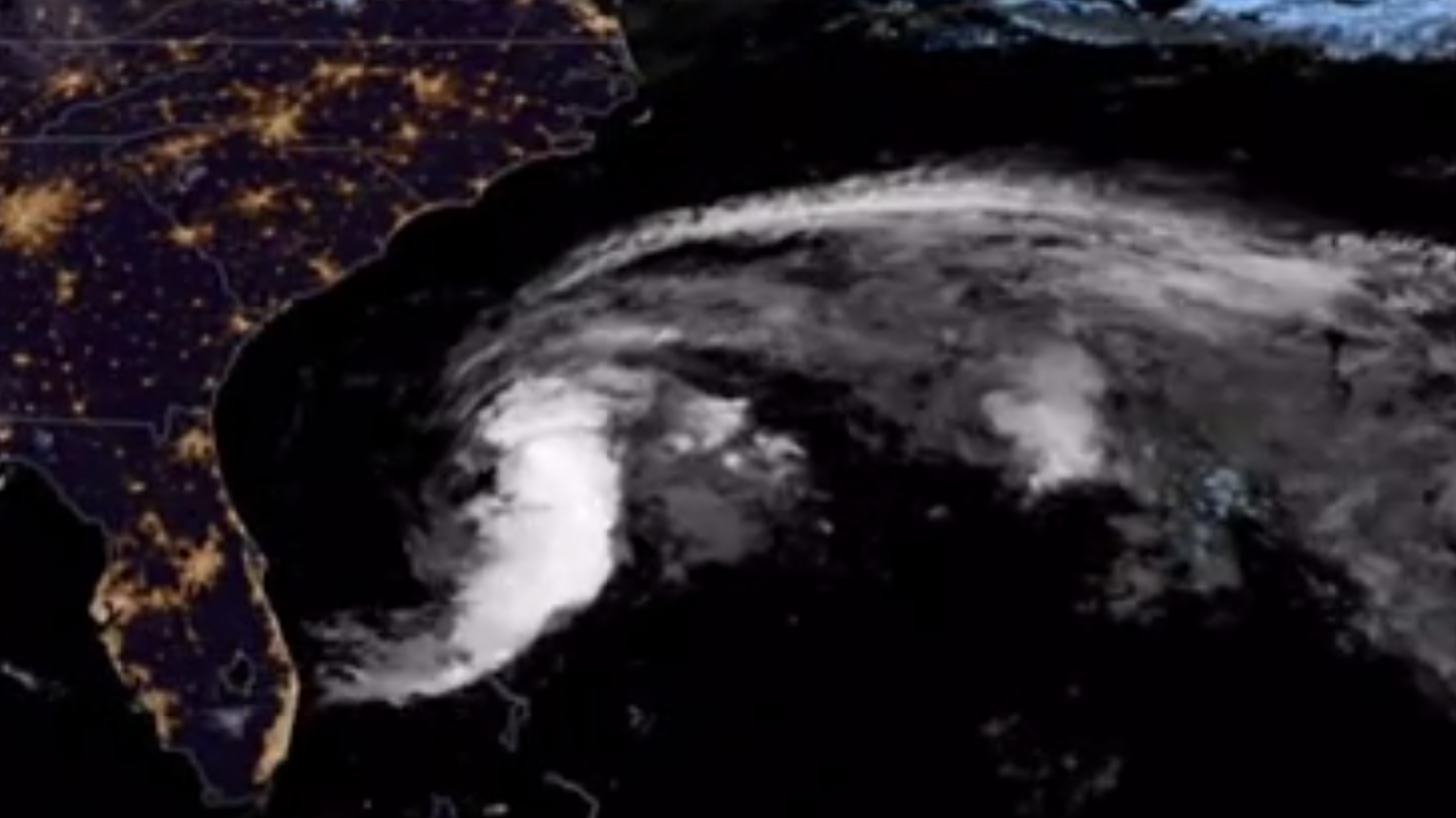
Satellites have spotted the first named storm of the 2020 Atlantic Ocean hurricane season, Tropical Storm Arthur, swirling off the coast of North Carolina.
Stunning views of the storm released by the National Oceanic and Atmospheric Administration (NOAA) yesterday and today (May 17 and 18) show Arthur churning in the Atlantic Ocean as it made its way north off the U.S. East Coast. The tropical storm is being carefully watched by the administration's GOES-16 satellite, also known as GOES-East, the current weather sentinel for the Eastern half of the U.S. in the Geostationary Operational Environmental Satellite series.
The storm has already affected some space missions. SpaceX has postponed the planned launch of 60 new Starlink internet satellites originally scheduled to fly this week to due the storm's effects on Florida's Space Coast. The mission will now launch sometime after SpaceX's next mission, a crewed test flight of its new Crew Dragon capsule NASA scheduled for May 27.
Related: The most powerful storms of the solar system in photos
MORNING UPDATE: @NOAA's #GOES16 🛰️watched the clouds and #lightning of #TropicalStormArthur as it formed off the coast of #Florida overnight; the first named storm of the 2020 Atlantic #HurricaneSeason. A #TropicalStormWarning is in effect for parts of #NorthCarolina. #NCwx pic.twitter.com/26RadzeGn2May 17, 2020
The Atlantic hurricane season does not formally begin until June 1, which is still two weeks away, according to NOAA. The season continues through Nov. 30. In a traditional year, the Atlantic Ocean would see about a dozen named storms during that period; last year saw 18.
According to forecasts from NOAA's National Hurricane Center, Tropical Storm Arthur is bringing heavy rain and gusts to North Carolina today, then is predicted to turn gradually eastward by tomorrow. Also tomorrow, the storm will likely lose the sustained wind speeds, currently no higher than 45 mph (72 km/h), that classify it as a tropical storm, the forecast added.
This morning, #GOESEast sees Tropical Storm #Arthur heading toward the North Carolina coast. The storm will bring heavy rainfall and gusty winds to the area. According to @NWS, the Mid-Atlantic will see rough surf and dangerous rip currents. #NCwxExplore: https://t.co/MYG7mGUjdU pic.twitter.com/7Se5O0kYahMay 18, 2020
The Pacific Ocean saw its first typhoon last week (the same type of system as a hurricane, just in the Pacific). Now a tropical cyclone, Vongfong made landfall in the Philippines on May 14 before beginning to weaken.
Sign up for the Live Science daily newsletter now
Get the world’s most fascinating discoveries delivered straight to your inbox.
That storm has been monitored by a satellite called Suomi NPP, which is a partnership between NASA and NOAA.
- Hurricane Florence in photos: See the massive storm from space
- Hurricane Irma photos: Images of a monster storm
- Amazing hurricane photos from space
Email Meghan Bartels at mbartels@space.com or follow her @meghanbartels. Follow us on Twitter @Spacedotcom and on Facebook.
OFFER: Save 45% on 'All About Space' 'How it Works' and 'All About History'!
For a limited time, you can take out a digital subscription to any of our best-selling science magazines for just $2.38 per month, or 45% off the standard price for the first three months.
Meghan is a senior writer at Space.com and has more than five years' experience as a science journalist based in New York City. She joined Space.com in July 2018, with previous writing published in outlets including Newsweek and Audubon. Meghan earned an MA in science journalism from New York University and a BA in classics from Georgetown University, and in her free time she enjoys reading and visiting museums. Follow her on Twitter at @meghanbartels.


