Isaias treks up the East Coast, threatening strong winds, tornadoes
Isaias could bring the strongest winds New York has seen since Superstorm Sandy.

Tropical storm Isaias strengthened into a Category 1 hurricane around 11:10 p.m. ET Monday (Aug. 3), before making landfall near Ocean Isle Beach in North Carolina, bringing flooding and multiple structure fires.
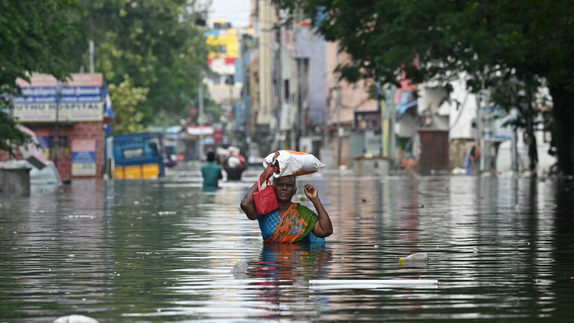
Isaias hit land as a tropical storm with winds of 85 mph (136 km/h) and caused flooding of low-lying areas in South Carolina, North Carolina and Virginia, according to NPR. As of 11 a.m. today, Isaias is moving over eastern Maryland, making its way up the East Coast, with maximum sustained winds of 70 mph (110 km/h).
Isaias was downgraded from a hurricane to a tropical storm this morning. To be considered a hurricane, a storm needs to rack up maximum sustained winds of at least 74 mph (119 km/h). Still, Isaias could bring the strongest winds New York has seen since Superstorm Sandy in 2012, Ross Dickman, the meteorologist-in-charge at the National Weather Service office in New York, told CNN.
Related: A history of destruction: 8 great hurricanes
Tropical storm conditions will likely reach southern New England this afternoon and northern New England tonight, according to an advisory from the National Hurricane Center and Central Pacific Hurricane Center. At 10 a.m. ET, the National Hurricane Center reported tornadoes over eastern Maryland and the Delmarva Peninsula.
A few tornadoes are also possible in northern New Jersey and southeastern New York through southern New England by late afternoon; risk of tornadoes may continue across northern New England through this evening, according to the advisory.
Heavy rainfall along the East Coast may result in flash flooding that could be "potentially life-threatening" in Philadelphia and elsewhere along, and just west of, the I-95 corridor, according to the advisory. Isaias is expected to drop an additional 2 to 4 inches (5 to 10 cm) of rain in the central and northern Mid-Atlantic; 2 to 4 inches of rain from eastern New York to Vermont; and 1 to 3 inches (1 to 7 cm) of rain in western Connecticut, western Massachusetts, New Hampshire and western Maine.
Sign up for the Live Science daily newsletter now
Get the world’s most fascinating discoveries delivered straight to your inbox.
Swells created by Isaias will spread northward along the mid-Atlantic and Northeast coast today and "are likely to cause life-threatening surf and rip current conditions," according to the advisory.
One- to two-foot swells in North Carolina last night led to the closing of a bridge in Sunset Beach, according to CNN. Brunswick County in North Carolina reported a number of calls for water rescues, fires, structural collapses and people trapped in flooded houses, according to CNN.
Originally published on Live Science.

Yasemin is a staff writer at Live Science, covering health, neuroscience and biology. Her work has appeared in Scientific American, Science and the San Jose Mercury News. She has a bachelor's degree in biomedical engineering from the University of Connecticut and a graduate certificate in science communication from the University of California, Santa Cruz.


