Lasers reveal 'lost' pre-Hispanic civilization deep in the Amazon
Settlements from a "lost" Amazonian civilization were found.

Millions of lasers shot from a helicopter flying over the Amazon basin have revealed evidence of unknown settlements built by a "lost" pre-Hispanic civilization, resolving a long-standing scientific debate about whether the region could sustain a large population, a new study finds.
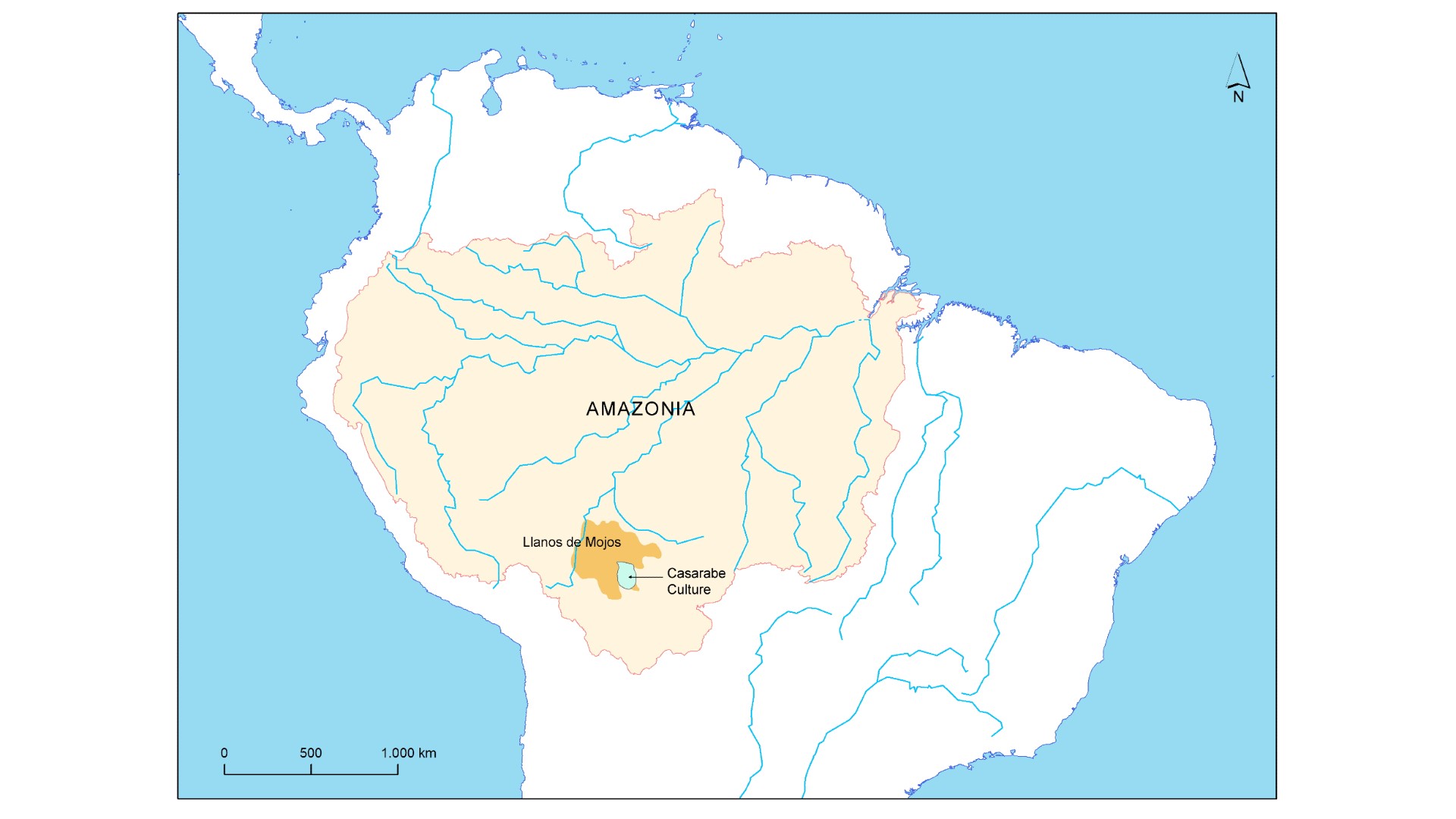
The findings indicate the mysterious Casarabe people — who lived in the Llanos de Mojos region of the Amazon basin between A.D. 500 and 1400 — were much more numerous than previously thought, and that they had developed an extensive civilization that was finely adapted to the unique environment they lived in, according to the study, published online Wednesday (May 25) in the journal Nature.
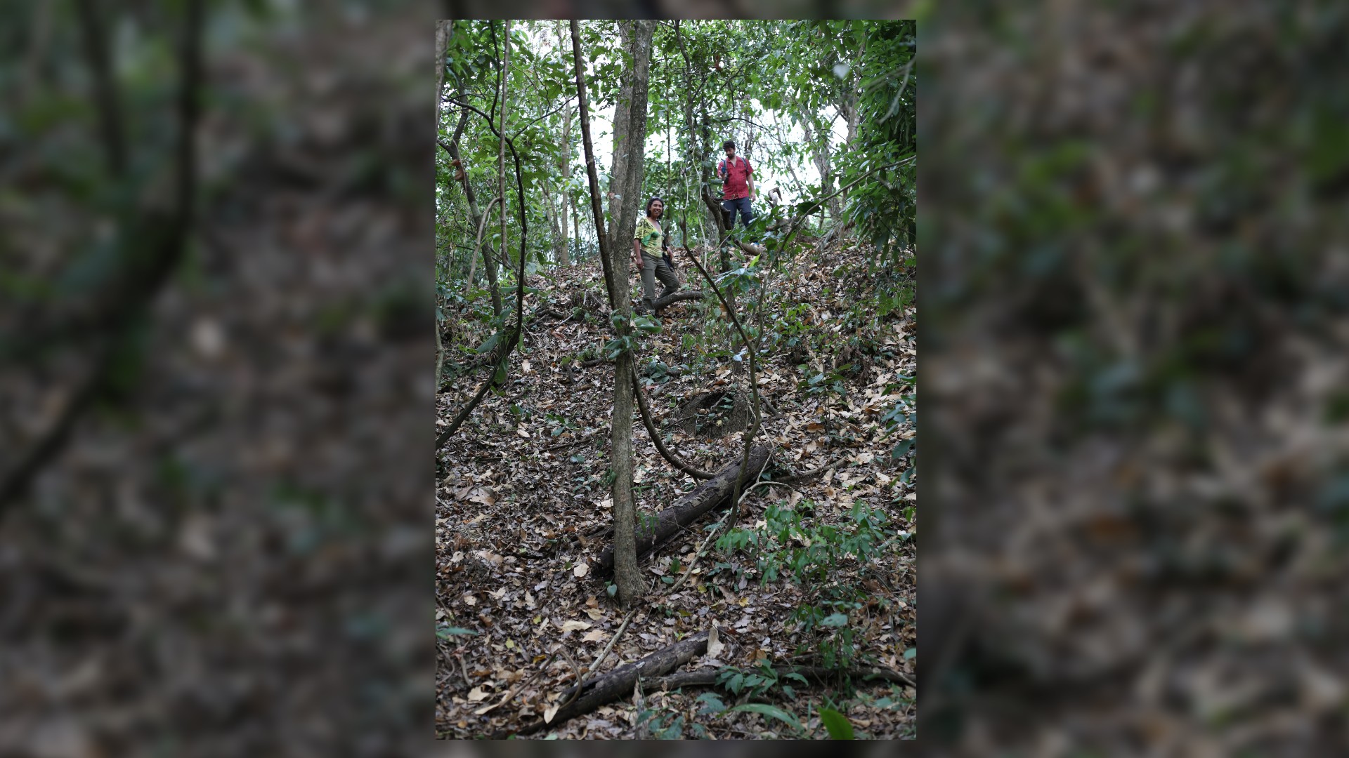
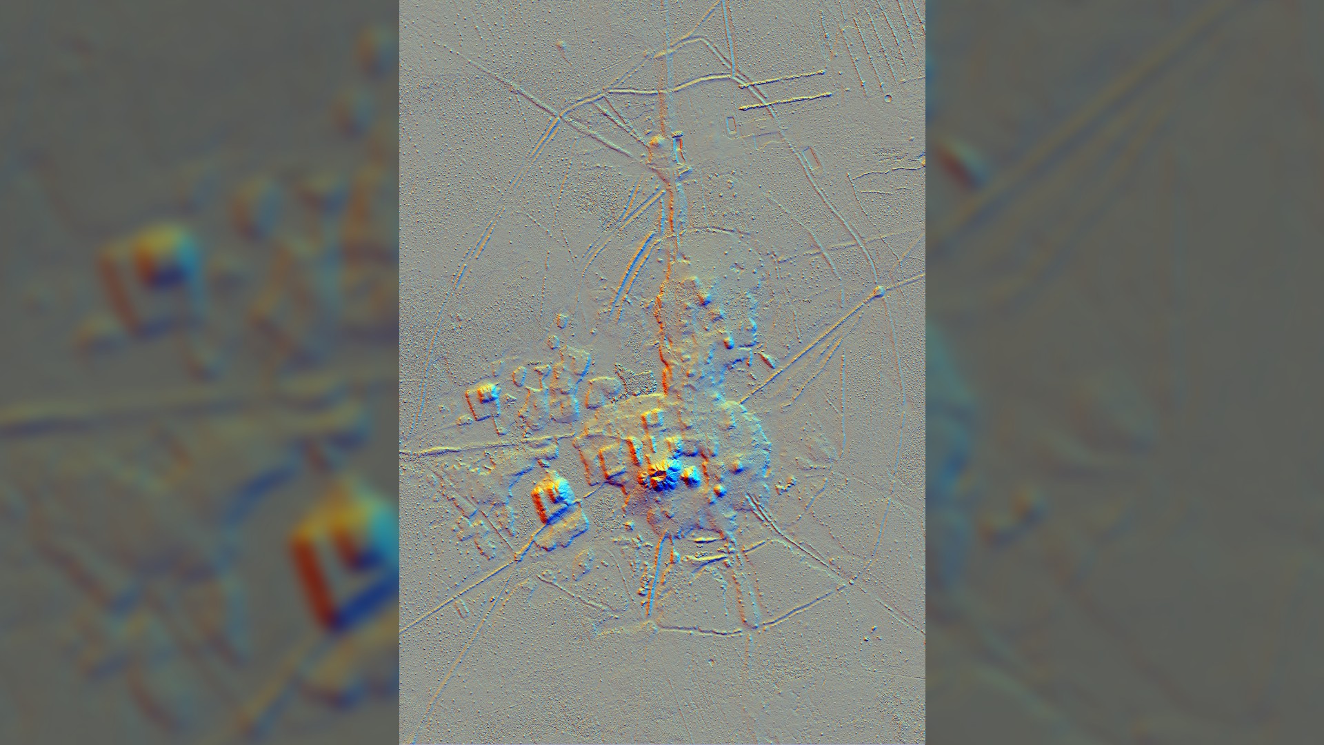
The study researchers used airborne lidar — "light detection and ranging," in which thousands of infrared laser pulses are bounced every second off the terrain to reveal archaeological structures beneath dense vegetation — and discovered several unknown settlements within a network of roads, causeways, reservoirs and canals that was centered on two very large Casarabe settlements, now called Cotoca and Landívar.
"In one hour of walking, you can get to another settlement," study lead author Heiko Prümers, an archaeologist at the German Archaeological Institute in Bonn, told Live Science. "That's a sign that this region was very densely populated in pre-Hispanic times." Prümers and his colleagues have studied the Casarabe ruins in the region, now part of Bolivia, for more than 20 years.
Related: Archaeologists find vast network of Amazon villages laid out like the cosmos
Ancient landscape

The Llanos de Mojos region is a lowland tropical savanna in the southwest of the Amazon basin. It has distinct wet and dry seasons each year — the driest months have no rain, but during the rainy season between November and April much of the area is flooded for months at a time.
Spanish missionaries in the 16th century found only isolated communities living there, and scientists had supposed that the area's pre-Hispanic population was the same, Prümers said. Earthworks were found in the 1960s, but many scientists disputed whether they were ruins or natural features.
Sign up for the Live Science daily newsletter now
Get the world’s most fascinating discoveries delivered straight to your inbox.
But the latest discoveries finally refute the idea that the region was sparsely populated, and show that the Casarabe people had instead instituted a "low-density tropical urbanism" across a vast area, he said.

Smaller Casarabe settlements could have been home to thousands of people, and 24 are now known — nine of them were found for the first time in the recent lidar study, Prümers said.
The settlements were joined by roads and causeways, and had been built in roughly concentric circles around the two major Casarabe sites at Cotoca and Landívar; both were known of before, but their true extent has only now been revealed by lidar, he said.
Cotoca and Landívar were each centered on ceremonial sites that had huge raised platforms of earth, topped by enormous pyramids. The religious beliefs of the Casarabe people are unknown, but the study reveals the platforms and pyramids were orientated to the north-northwest — the same direction as the Casarabe burials that have been found. "So there must've been a 'world view' but nothing is known about that," Prümers said.
Lost civilization

An unusual feature of the settlements is that the Casarabe built them within a massive infrastructure of canals and reservoirs for the management of water.
Along with roads and causeways, these waterways radiated out in all directions from the major settlements like Cotoca and represented a major investment in landscape management and labor mobilization, the researchers wrote in the study.
Prümers said the system may have been used to control the seasonal flooding of the region, to allow the farming of maize and other crops in raised areas; and it's possible some reservoirs were used to farm fish, which would have been an important source of protein for the Casarabe people.

And he speculates that water scarcity may have played a role in the demise of the Casarabe civilization in about A.D. 1400, more than 100 years before the arrival of the Spanish. It's possible that because the water management system relied so heavily on the floods or other sources of water that it — and the civilization that relied on it — fell apart during a prolonged dry period due to a changing climate, he said.
Michael Heckenberger, an anthropologist at the University of Florida, who wasn't involved in the research but who has extensively studied the archaeology of the region, said the findings verify that the Casarabe people were organized into a type of low-density urbanism. "The archaeology, chronology and dating are extremely well-described and locked down," he said.
He notes that similar civilizational structures have now been found in other tropical regions that were once thought to be unsuitable for ancient civilizations, such as among the Maya in pre-Hispanic Mesoamerica.
What's more, the use of lidar to reveal the extent of the archaeological record in such regions is a major advance. "Lidar is able to create a really clear synthetic picture of what a full-scale urbanized Amazonian landscape might look like," Heckenberger told Live Science. "That is a truly remarkable achievement."
Originally published on Live Science.
Tom Metcalfe is a freelance journalist and regular Live Science contributor who is based in London in the United Kingdom. Tom writes mainly about science, space, archaeology, the Earth and the oceans. He has also written for the BBC, NBC News, National Geographic, Scientific American, Air & Space, and many others.


