Balanced boulders on San Andreas fault suggest the 'Big One' won't be as destructive as once thought
A cluster of precariously balanced rocks in California hold secret clues to future earthquakes near Los Angeles.
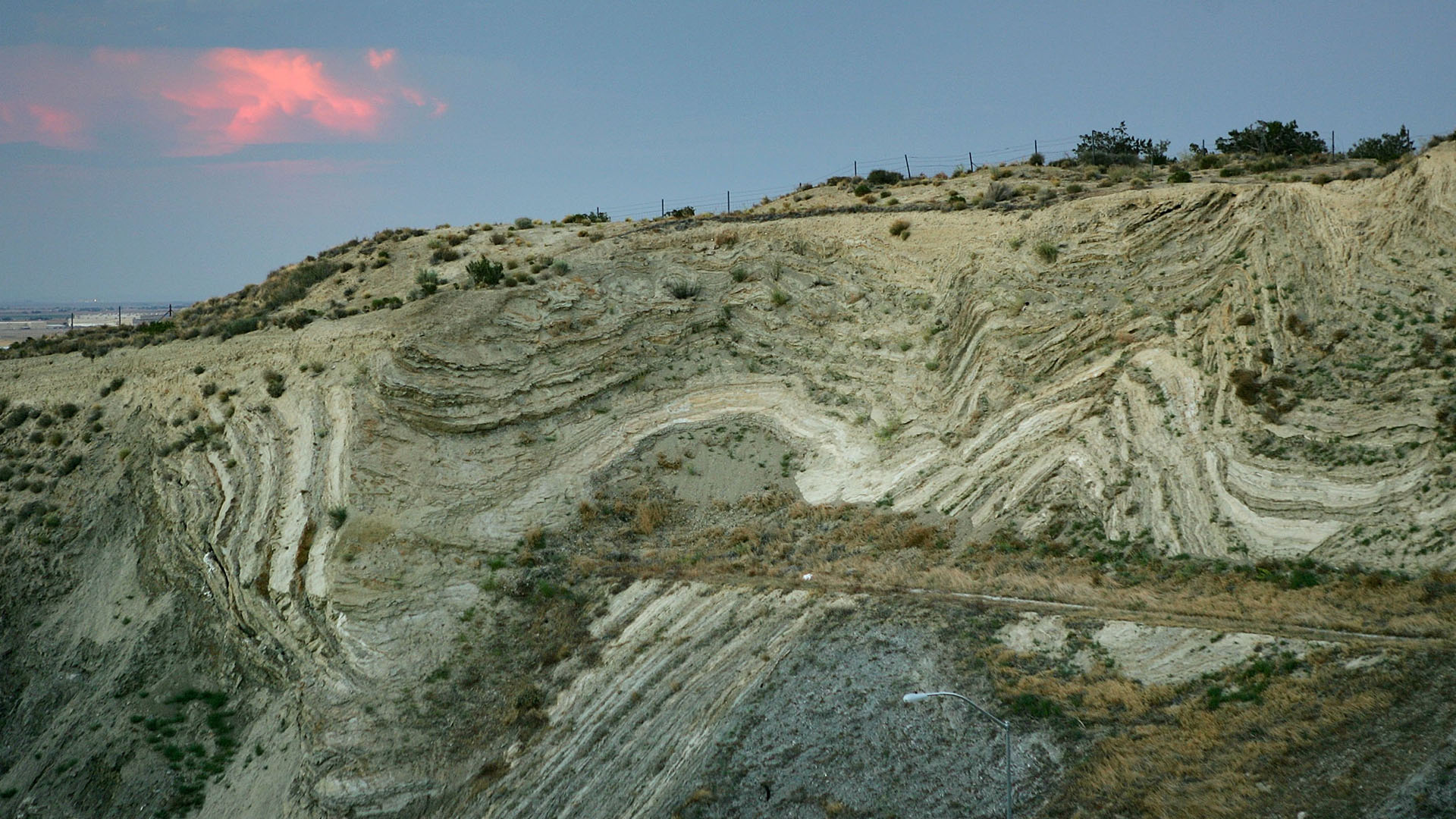
Tens of thousands of earthquakes rock California each year. Many of these shakes originate in a boundary between the Pacific and North American tectonic plates that run through southern California, known as the San Andreas fault.
Someday, the Mojave section of this fault is expected to unleash a massive earthquake to rival any other in Los Angeles' past — dubbed the "Big One." Up to at least a 7.8 magnitude, this earthquake could wreak havoc on much of Southern California, potentially toppling buildings or triggering widespread evacuations.
But it turns out this event may not be as destructive as previously thought, particularly near Los Angeles, according to research presented on Dec. 13 at a meeting of the American Geophysical Union.
Currently, earthquake risk models are mainly based on extrapolations from limited historical timescale and ground motion recordings from past quakes. But fortunately, a different group of sentinels have witnessed and captured data from these temblors for much longer than humans: rocks.
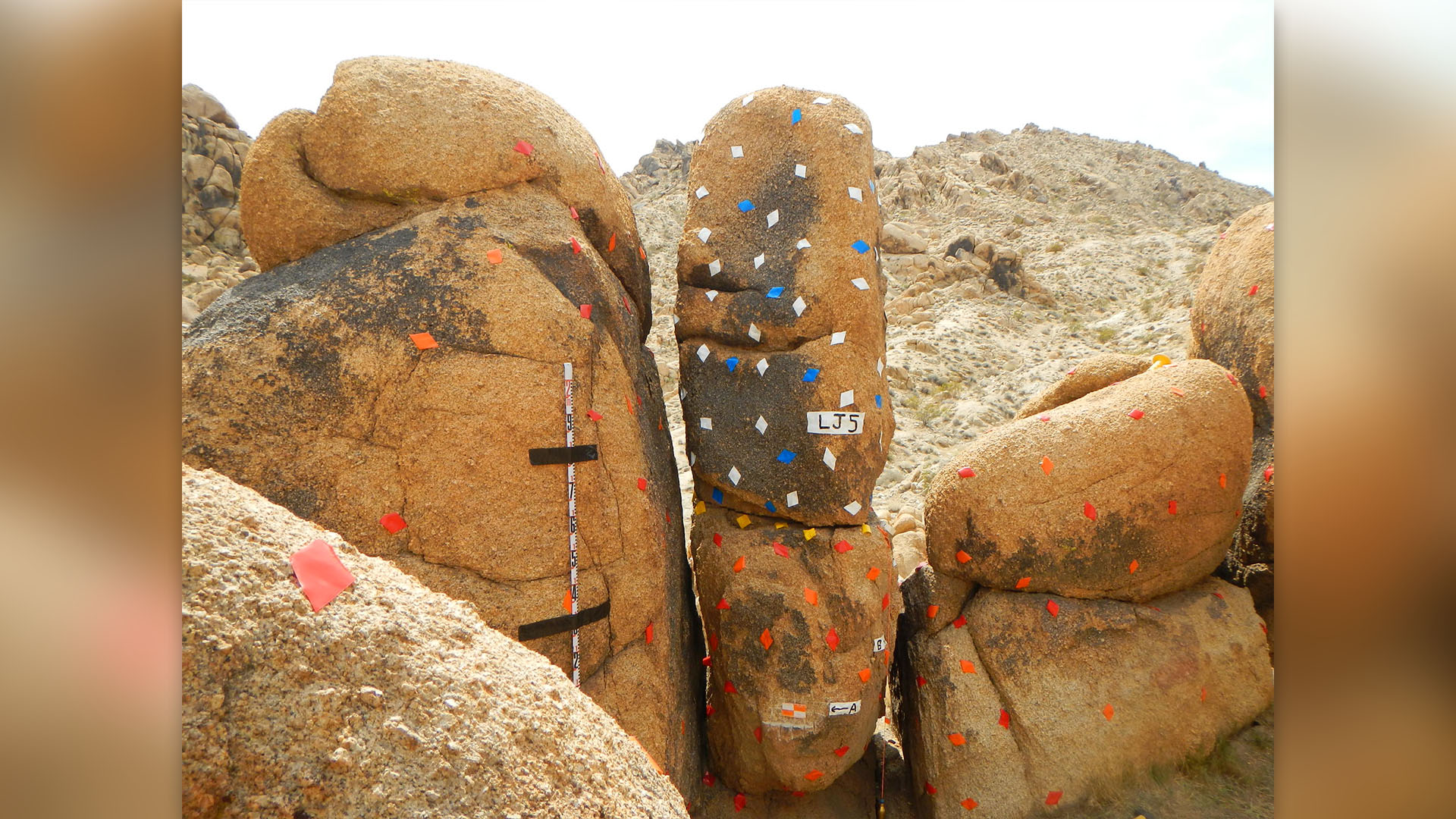
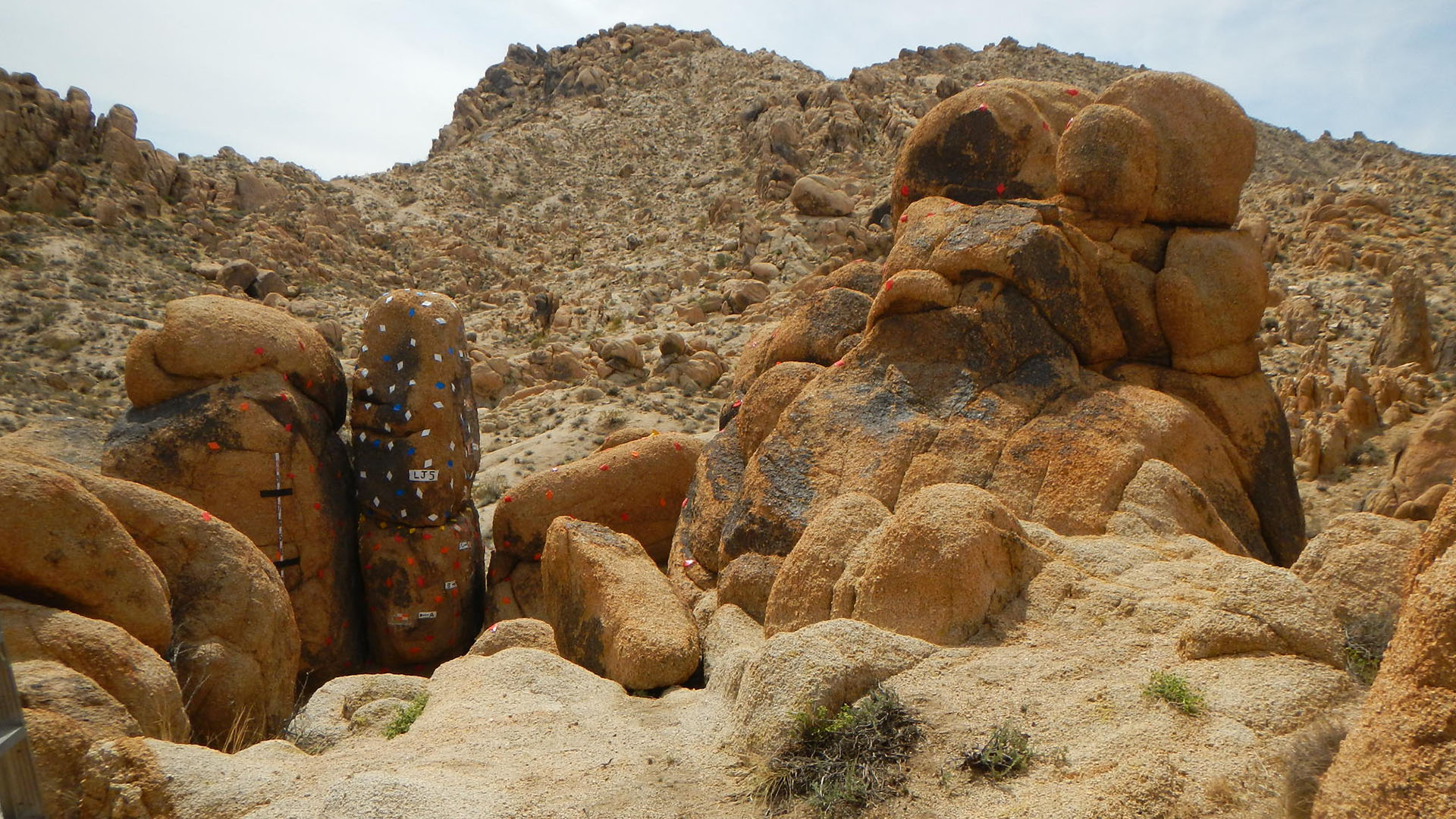
In California, a cluster of five precariously balanced rocks that stand just 9.3 miles (15 kilometers) from the fault in northern Los Angeles county hold clues to how strong shaking has been over the last 50,000 years.
Using data from these rocks, researchers found that the ground will likely shake up to 65% less aggressively than current official hazard models for the Big One suggest, according to the researchers.
Related: Ultradeep melting rocks drive invisible quakes beneath San Andreas Fault
Sign up for the Live Science daily newsletter now
Get the world’s most fascinating discoveries delivered straight to your inbox.
"Basically, the fundamental problem we're trying to address here is that we've been only recording earthquakes with seismometers like not even 100 years," lead researcher Anna Rood, a seismic hazard scientist at Imperial College London, told Live Science. "They're really uncertain as to what these rare large earthquakes might mean for ground shaking. So this is where the geological data comes in."
To unlock secrets from these hunks of granite, researchers had to determine when they first became precarious. Time and weather conditions stripped soil and sediment from the rocks over time, leaving behind an exhumed base that is more fragile than when it was whole. In 2021 and 2022, Rood and the study's other co-authors visited the precariously balanced rocks to retrieve samples from them.
They then tested their levels of an isotope known as beryllium-10, which is created when rocks are exposed to interactions of galactic cosmic rays with the atmosphere. The levels recorded in the rocks helped show when they became more fragile and precariously balanced.
They also tagged the rocks with high-tech stickers to digitally recreate their shape and size, enabling them to model how much shaking the rocks could handle before taking a tumble.
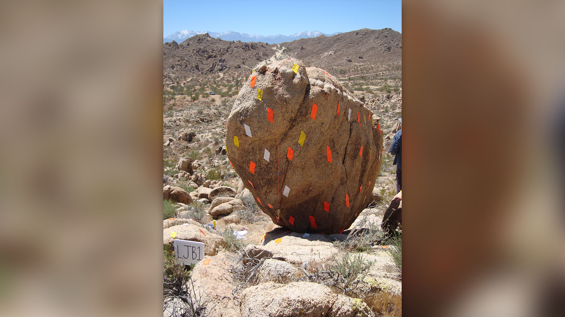
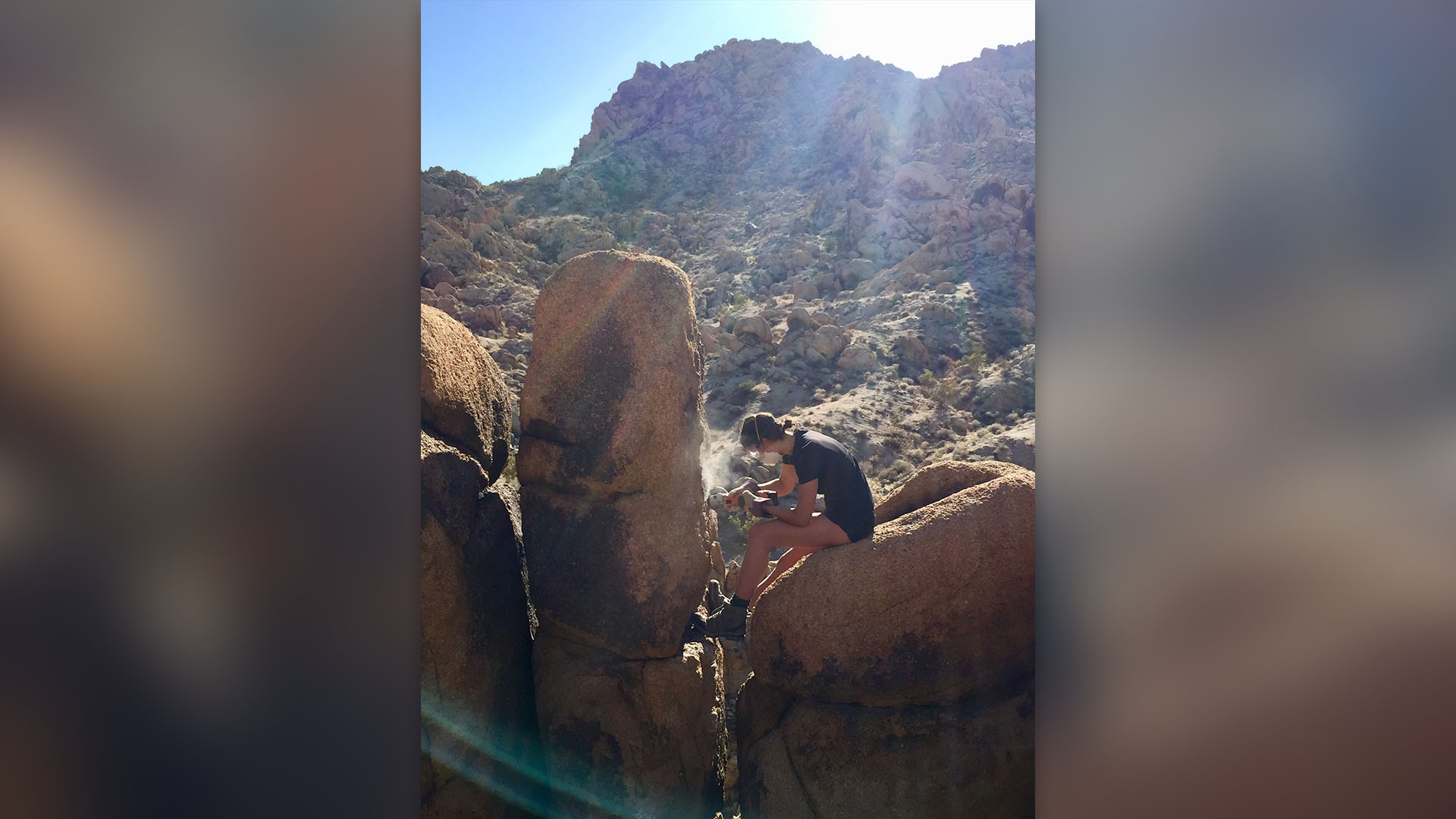
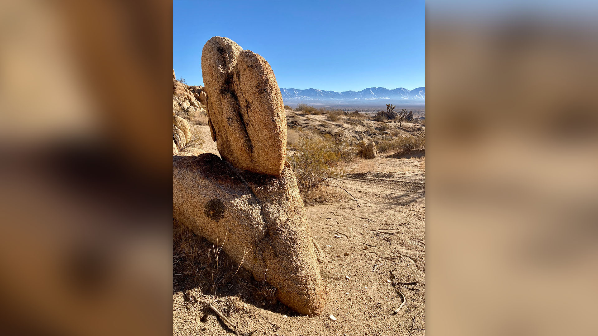
Looking back in time, the researchers determined how many earthquakes these rocks have withstood without falling, giving them some sense of the upper bound on the ground motion that could have shook the site throughout history — going way further back than current human recordings are able to.
After testing these findings against current hazard maps used by the government, they found that ground shaking during the Big One will likely be significantly less than previously thought.
"This is good data," Mark Petersen, a geophysicist at the U.S. Geological Survey (USGS) who leads development of the U.S. National Seismic Hazard Model, told Science. However, he said it's too early to incorporate the findings when the maps are updated next month.
Hazard maps help governments set building codes and disaster preparation plans. Insurance companies use them to help determine what an earthquake insurance premium should be in a certain area. If maps are updated to include their precarious rock data, it could affect all of these decisions, Rood said. She added that while it isn't necessarily a bad thing to design buildings in an overly cautious manner, these projects may be more expensive than they need to be.
Rood and her research team plan to continue studying precarious rocks around the world to update hazard models. In the future, Rood hopes these tests are "built in as part of the process" during hazard modeling, rather than only used to validate data after the fact.

Kiley Price is a former Live Science staff writer based in New York City. Her work has appeared in National Geographic, Slate, Mongabay and more. She holds a bachelor's degree from Wake Forest University, where she studied biology and journalism, and has a master's degree from New York University's Science, Health and Environmental Reporting Program.
