Ocean plate from time of Pangaea is now being torn apart under Iraq and Iran
What was once the floor of an ancient ocean is still shaping the landscape between Arabia and Eurasia.
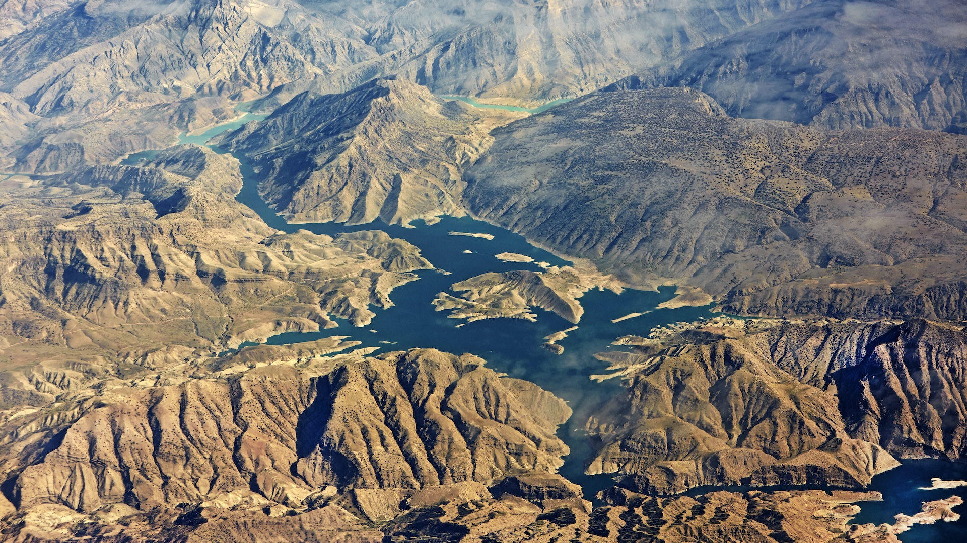
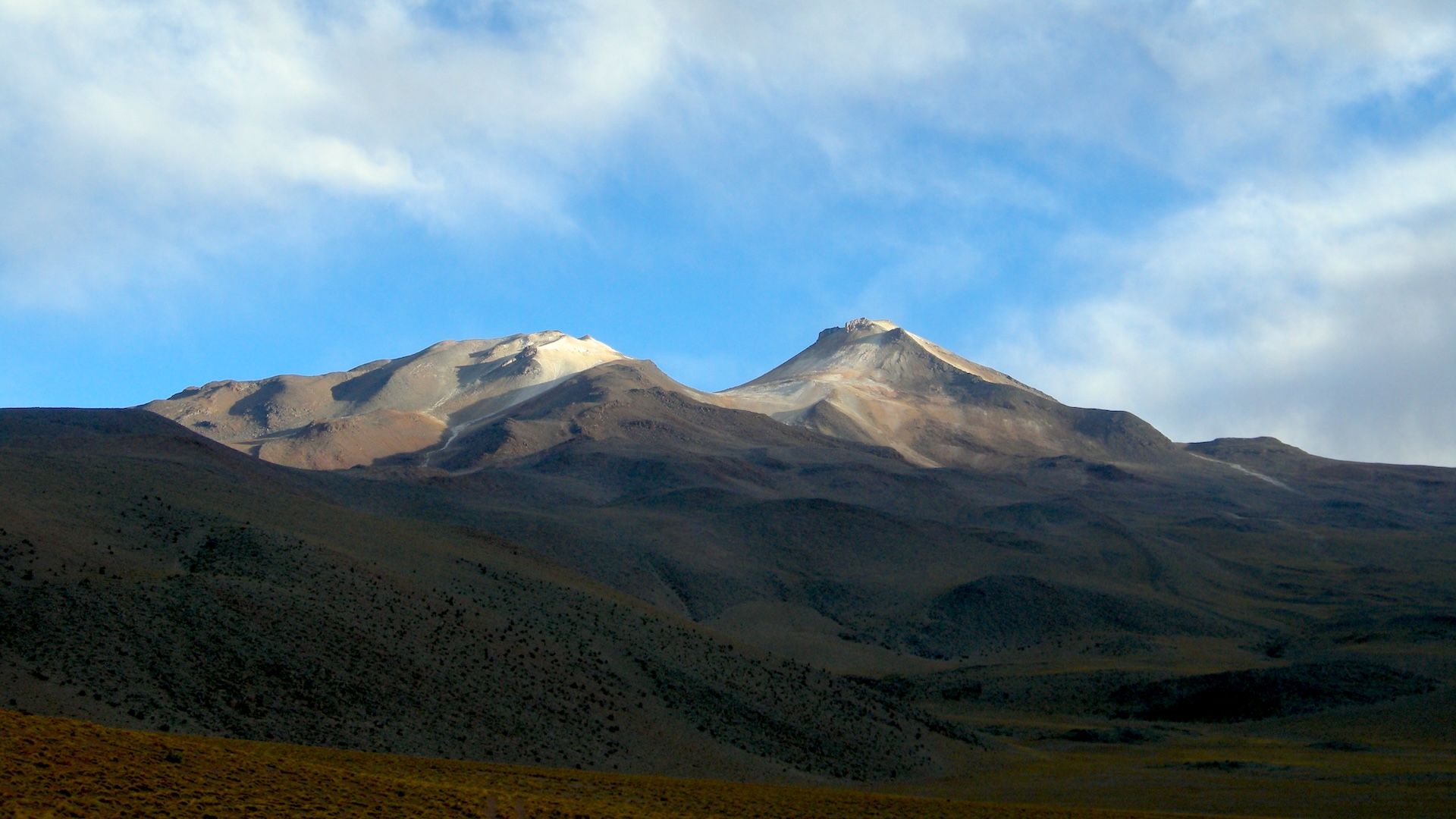
A long-lost oceanic plate is diving deep into the mantle, dragging down the crust above, researchers say. However, the plate is also tearing apart below the Zagros Mountains in Iraq as it plunges downward, taking some of the load off the overlying crust.
This tearing process has likely already occurred on the west side of the mountain range, where Iraq's Kurdistan region butts up against Turkey, new research finds. The tear is now heading toward northwest Iran.
These dynamics aren't immediately obvious at the surface, but they reveal how the mantle and crust work together to shape Earth's topography, the researchers said in the new study, published Nov. 25, 2024 in the journal Solid Earth.
The ocean plate was once the seafloor of Neotethys — an ocean that formed when the supercontinent Pangaea broke up into a northern continent, Laurasia, and a southern continent, Gondwana about 195 million years ago. Though Neotethys closed up more than 20 million years ago, the oceanic crust that used to underpin it is still affecting the Zagros mountain region, the new study found.
"This plate is pulling the region downward from below," study author Renas Koshnaw, a researcher in geology at Göttingen University in Germany, said in a statement.
As Neotethys closed up, the oceanic crust went under the Eurasian continent. The continental portion of the Arabian plate, which underpins modern-day Iraq and Saudi Arabia, was dragged behind, resulting in a collision with Eurasia. This collision created mountains, which pressed down on the crust around them, creating a depression.
These mountains eroded into this depression over millions of years, their sediments forming the Mesopotamian plain where the Tigris and Euphrates rivers flow.
Sign up for the Live Science daily newsletter now
Get the world’s most fascinating discoveries delivered straight to your inbox.
Koshnaw and his colleagues saw that on the southeastern side of this plane, there is an unusually thick layer of sediments, 1.9 to 2.5 miles (3 to 4 kilometers) deep. They mapped the area and used computer modeling to find that the weight of the mountains alone could not account for such a deep divot. Instead, they found that this region is being dragged down by the remains of the Neotethys oceanic plate, which is still plunging into the mantle. But the plate is also being torn apart as it descends.
"Towards Turkey, the sediment-filled depression becomes much shallower, suggesting that the slab has broken off in this area, relieving the downward pull force," Koshnaw said.
Understanding these dynamics can help inform the search for natural resources such as iron, phosphate and copper, which form in sedimentary rocks, the researchers said. Faults formed in the collision between the Arabian and Eurasian plates also give off large, deadly earthquakes.
Test your knowledge of Earth's layers

Stephanie Pappas is a contributing writer for Live Science, covering topics ranging from geoscience to archaeology to the human brain and behavior. She was previously a senior writer for Live Science but is now a freelancer based in Denver, Colorado, and regularly contributes to Scientific American and The Monitor, the monthly magazine of the American Psychological Association. Stephanie received a bachelor's degree in psychology from the University of South Carolina and a graduate certificate in science communication from the University of California, Santa Cruz.
You must confirm your public display name before commenting
Please logout and then login again, you will then be prompted to enter your display name.
