Here's what the 2024 Summer Olympics in Paris look like from space (photos)
The European Space Agency shared a high-resolution interactive image of central Paris highlighting several notable venues where the 2024 Summer Olympic games are being held from July 26 through Aug. 11, 2024.
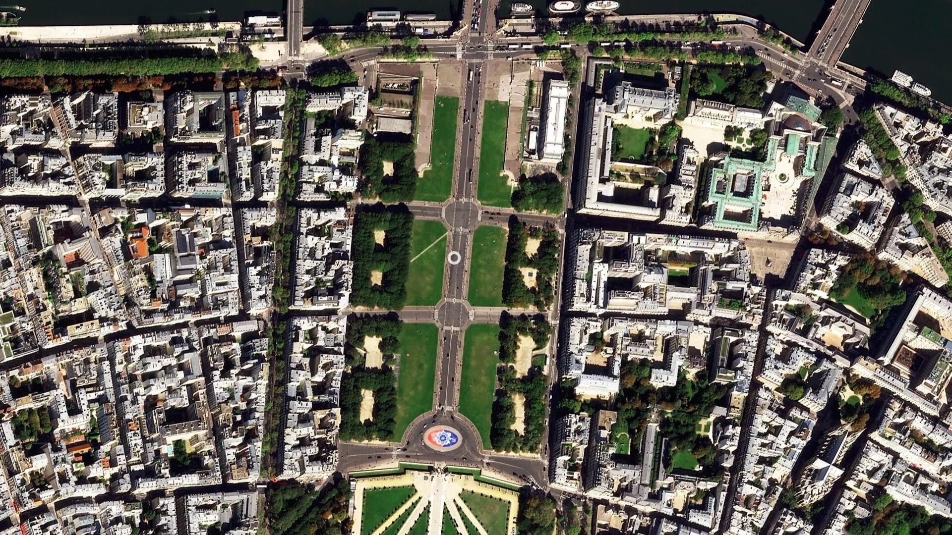
The 2024 Summer Olympics started Friday (July 26) in Paris with the opening ceremony highlighting historic landmarks along the Seine River, which can be seen in a new satellite image from space.
The European Space Agency (ESA) shared a high-resolution image of central Paris, where the Olympic games are being held from July 26 through Aug. 11, 2024.
The image was taken by the space agency's Pléiades Neo mission — a constellation of two identical satellites called Pléiades-1A and Pléiades-1B — offering a detailed view of various Olympic venues.
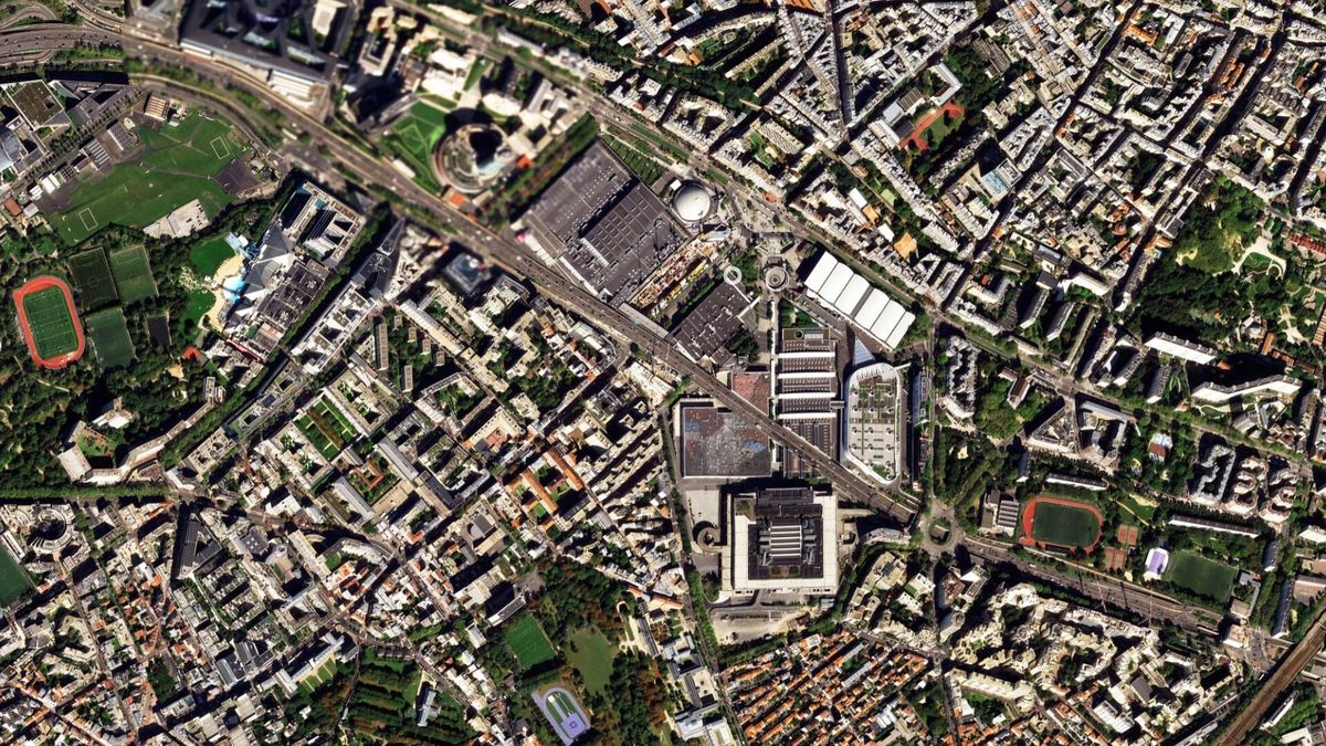
The ESA interactive image allows viewers to zoom in on notable locations throughout the city where different competitions will be held. This includes the Bercy Arena, which is located in Paris' 12th district (right-most landmark in the new satellite image) and easily recognized by its pyramid design. The Bercy Arena will host artistic gymnastics, trampoline and basketball games.
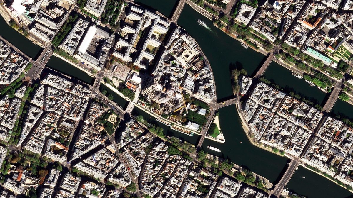
The satellite view also captures Notre Dame (center of the image), which is covered in scaffolding as it undergoes restoration processes following a devastating fire five years ago. The cathedral was highlighted during the opening ceremony, during which the bells were rung for the first time since the fire.
"The oval shape of the Stade de France stands out at the top of the image, with the Aquatics Centre to its left, one of the two permanent venues constructed for the Games," ESA officials said in the statement releasing the satellite image. "The Arc de Triomphe can be spotted easily near the center-left of the image, standing at the center of Place Charles de Gaulle, where 12 grand avenues converge to form a star."
Perhaps most notable in the satellite image is the iconic Eiffel Tower, where two temporary arenas have been built to host a number of competitions, including beach volleyball.
Sign up for the Live Science daily newsletter now
Get the world’s most fascinating discoveries delivered straight to your inbox.
The interactive image shared by ESA allows viewers to click on more than a dozen circles to learn more about each location throughout the city.
Join our Space Forums to keep talking space on the latest missions, night sky and more! And if you have a news tip, correction or comment, let us know at: community@space.com.
Originally posted on Space.com.


