Why do clouds float?
Do the clusters of water and ice particles that make up clouds really float in the sky?
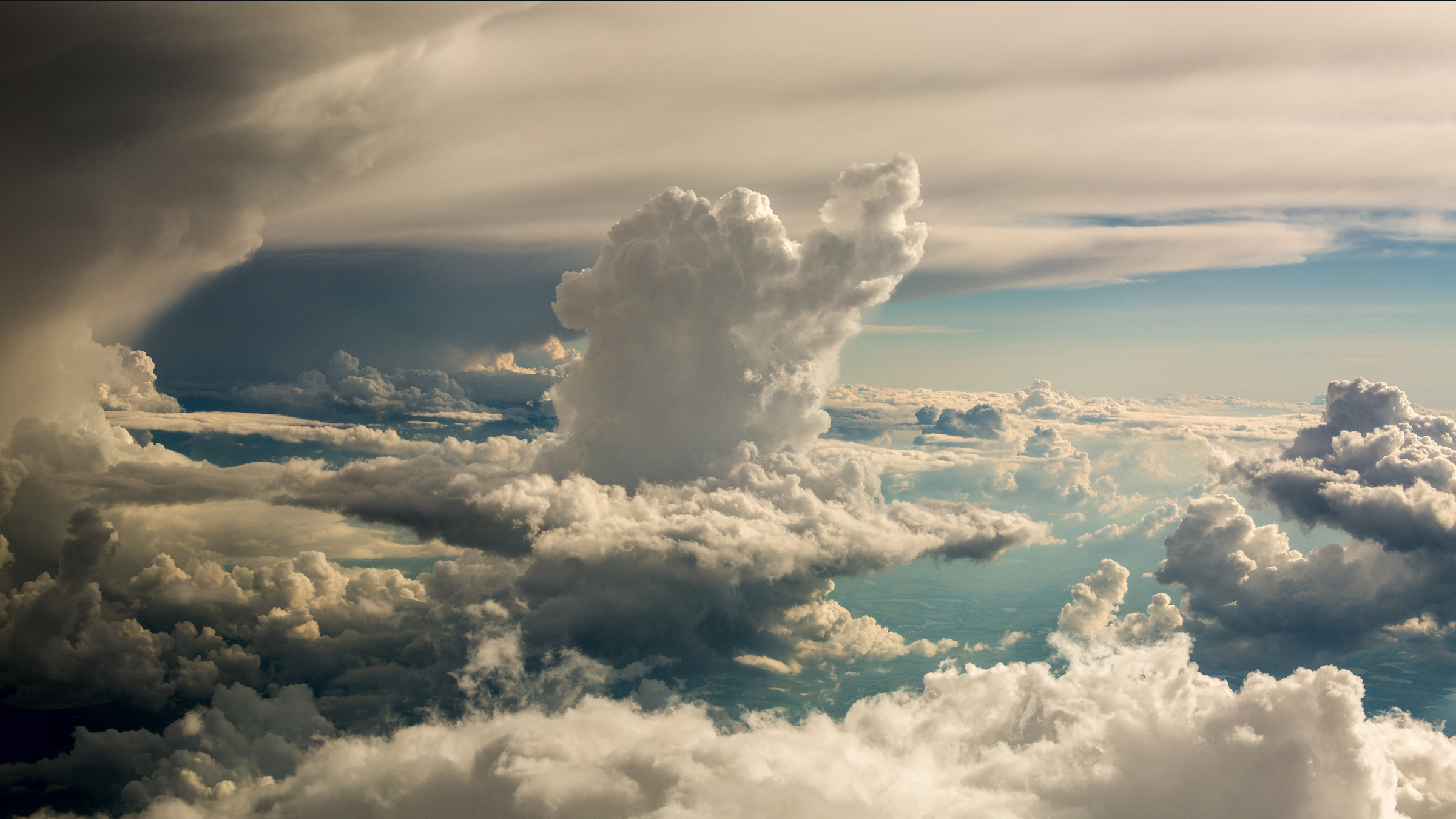
Look up at the sky and clouds may look like "feather canyons" and "ice cream castles in the air," as they did to Joni Mitchell.
But why do they look as if they're suspended in mid-air, and are they actually floating? And if so, what keeps them aloft?
"It's sort of an illusion," Alex Lamers, a meteorologist at the National Weather Service, told Live Science. "It's not like there's a pillow or something that's magically floating in air."
A cloud is a collection of water droplets and ice crystals. These droplets form around a cloud condensation nucleus, which could be a speck of dust or salt, Lamers explained. When a water-laden cloud grows too heavy, precipitation falls as rain, snow or hail. But even before rainfall, these droplets make their way toward Earth, albeit at a leisurely pace.
"They're falling very, very, very slowly," Lamers said. Anything falling to Earth reaches what's known as terminal velocity, or its fastest possible speed as it falls freely. Terminal velocity occurs when drag force from the air perfectly counters gravity. The water droplets are so light that their terminal velocity is super slow — between 60 and 120 feet per hour (18 to 36 meters per hour) for a droplet with a 5- to 10-micron radius. Because clouds are usually thousands of feet high in the atmosphere, this small downward shift isn’t noticeable to the eye.
Related: What happens if you skydive through a cloud?
Lamers likened a water droplet's fall to dust motes swirling in a shaft of sunlight: The motes also fall, but because they are minuscule, they fall slowly. The average size of a cloud water droplet is smaller than the radius of a human hair, according to Mark Miller, a professor of atmospheric science at Rutgers University.
Sign up for the Live Science daily newsletter now
Get the world’s most fascinating discoveries delivered straight to your inbox.
But something counteracts that slow descent, which is where the illusion comes in. Updrafts of rising air keep the coalesced droplets suspended, even as they gradually fall.
"They appear to float because essentially, they're falling at a rate slower than or equal to the updraft velocity in the cloud," Miller told Live Science. The particles fall and rise at the same time.
Water droplets become "tracers of air motion," Miller said. That is, the rising air nudges millions of droplets into the shape of its path, forming the visible cloud. But it's not just this simultaneous falling and rising at play; while clouds appear at a relatively fixed height, they fluctuate as rising air mingles with droplets as they condense and evaporate. "They're actually forming and evaporating at a rate that makes them seem a bit stationary," Miller said.
A cloud is the visible result of vertical motion and air mixing with water — while the droplets fall slowly to the ground. "You don't really see the cloud droplet motion at all," Miller said. "All you really see is the tracer of the larger-scale motion in the atmosphere."
Cloud formation requires warm, moist air. Warm air is more buoyant than cold air, so it rises into the atmosphere and then condenses into a cloud as it cools. The cloud is less dense than the air below it. While some clouds look light and fluffy, a cumulus or thunderstorm cloud can weigh about as much as 100 elephants, though its mass and water content depend on its dimensions. In a smaller cloud only a few tens of meters tall and wide that won’t imminently precipitate, that weight doesn't always translate to much water. "If I took all the water out of that cloud, it would probably not even fill a gallon jug," Miller said.

Elana Spivack is a science writer based in New York City. She has a master's degree from New York University's Science Health and Environmental Reporting Program and a bachelor's from Kenyon College in Ohio. She's written for Inverse, Popular Science, BitchMedia and others.
