Secrets of 'mystery sandwich' beneath Yellowstone revealed in new map
Researchers mapped the national park's hydrothermal 'plumbing system' using a giant flying magnet.

The subterranean "plumbing system" of superheated water that feeds Yellowstone National Park's geysers and other hydrological features has been mapped out in stunning detail — and the findings could fill a major knowledge gap that experts have described as a "mystery sandwich."
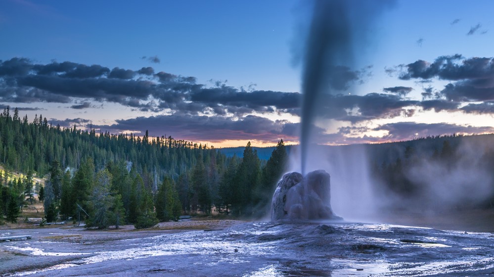
Yellowstone is home to the world's largest hydrothermal system, which contains around 10,000 hydrothermal features, including geysers, hot springs, mud pots and steam vents, according to the National Park Service. These aboveground features are fed by a network of underground water pathways that get superheated by underground magma, causing the water to rise to the surface. However, researchers know very little about this underground network, or plumbing system.
"Our knowledge of Yellowstone has long had a subsurface gap," study co-author W. Steve Holbrook, head of the Department of Geosciences at Virginia Tech University, said in a statement. "It's like a 'mystery sandwich' — we know a lot about the surface features from direct observation and a fair amount about the magmatic and tectonic system several kilometers down from geophysical work, but we don't really know what's in the middle."
Related: 8 amazing national park structures
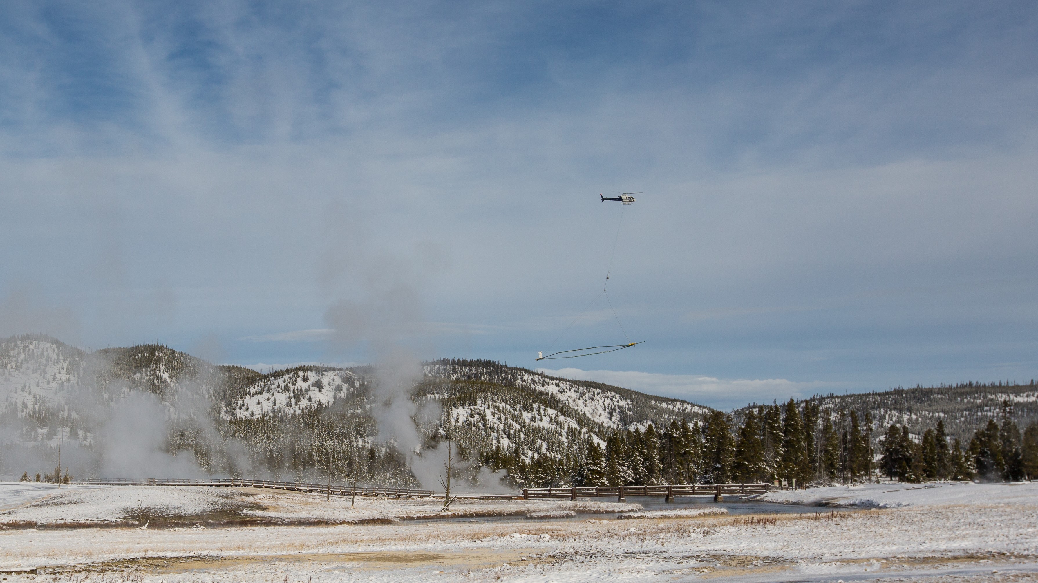
In the new study, researchers attached a giant electromagnet, known as SkyTEM, to a helicopter and then flew back and forth hundreds of times above Yellowstone to scan the ground below. The magnet consists of an 82- feet-wide (25 meters) charged wire loop which generates a strong electromagnetic field. Because different types of material, such as rock or water, respond differently to the magnetic field, the researchers were able to create subsurface maps of large sections of the underground hydrothermal network for the first time.

Mapping hydrothermal pathways
The survey method used by the team, called transient electromagnetics (TEM), involves inducing an electrical current through the ground by turning the electromagnet in the air on and off. An electromagnet produces an electromagnetic field when an electrical current is run through a coiled wire loop, like the SkyTEM magnet. When the electrical current stops running through the wire, the electrical charge jumps from the electromagnetic field to the ground below. The electric charge dissipates through the ground, which causes fluctuations in the electromagnetic field that can be measured by the researchers above.
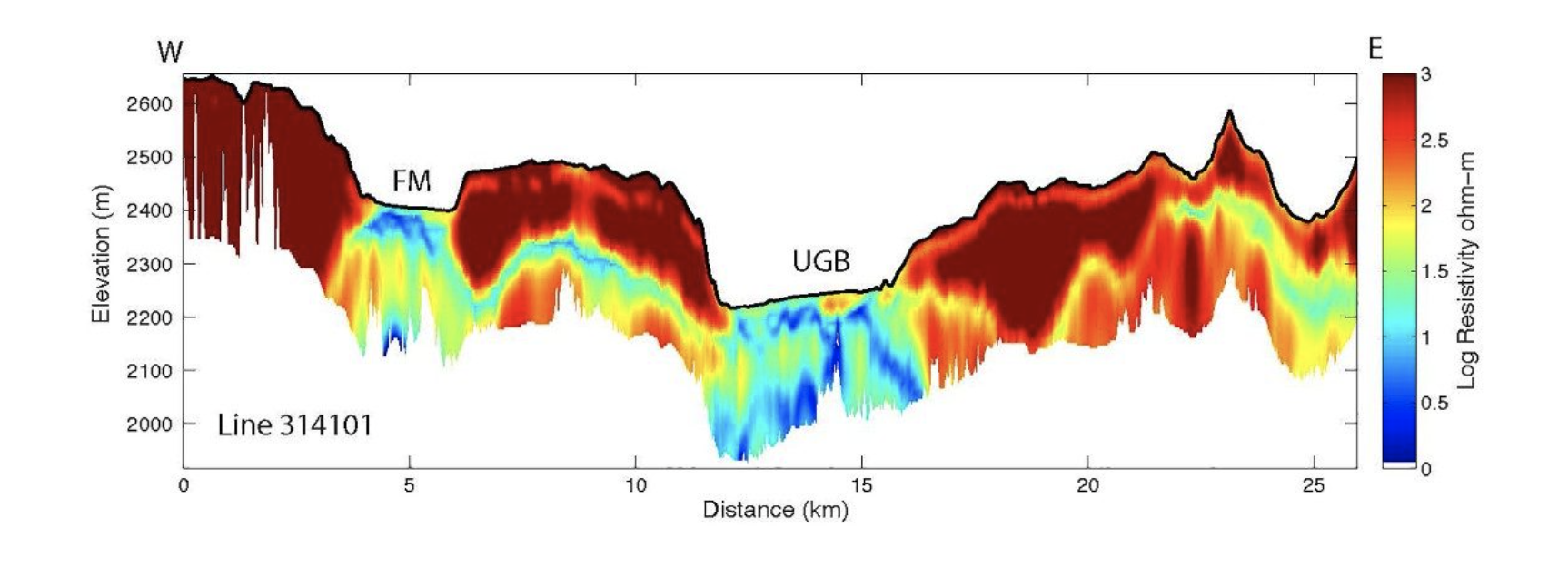
The subsurface water pathways show up clearly in the resulting maps because water is a much better conductor of electricity than rock is, lead author Carol Finn, a researcher with the U.S. Geological Survey, told Live Science in an email. So an electric current induced in water dissipates more quickly than current in rock. The mapping technique could also differentiate between magma and bedrock because they have slightly different magnetic properties, Finn said. This allowed the team to see how the magma and water interact to create impressive geological features on the surface.
Sign up for the Live Science daily newsletter now
Get the world’s most fascinating discoveries delivered straight to your inbox.

This method allowed the researchers to create high-resolution maps to a depth of between 492 and 2,296 feet (150 to 700 m) and low-resolution maps to a maximum of 1.5 miles (2.5 kilometers), Finn said. However, the researchers think the hydrothermal system may extend as far as 3.1 miles (5 km) below the surface, which means they have mapped only the top half half of Yellowstone's plumbing system.
In total, the team covered around 2,500 miles during their research flights. However, the technique was sensitive enough to pick up only the largest fluid pathways. "It's like imaging a city's water supply and distribution lines, but not the individual lines feeding a given house or the difference in pipes between your kitchen and bathroom," Finn said.
Missing links
Scientists already know a lot about the surface hydrothermal features in Yellowstone, thanks to decades of detailed observations and chemical samples. Researchers also have a good idea of the tectonic plates and fault lines deeper belowground because the park's frequent earthquakes provide lots of opportunities to study this. For instance, in July 2021, a swarm of more than 1,000 earthquakes rocked Yellowstone, Live Science previously reported. However, researchers have been "missing the precise links between the deep water heated by magma and the varied surface features," Finn said.
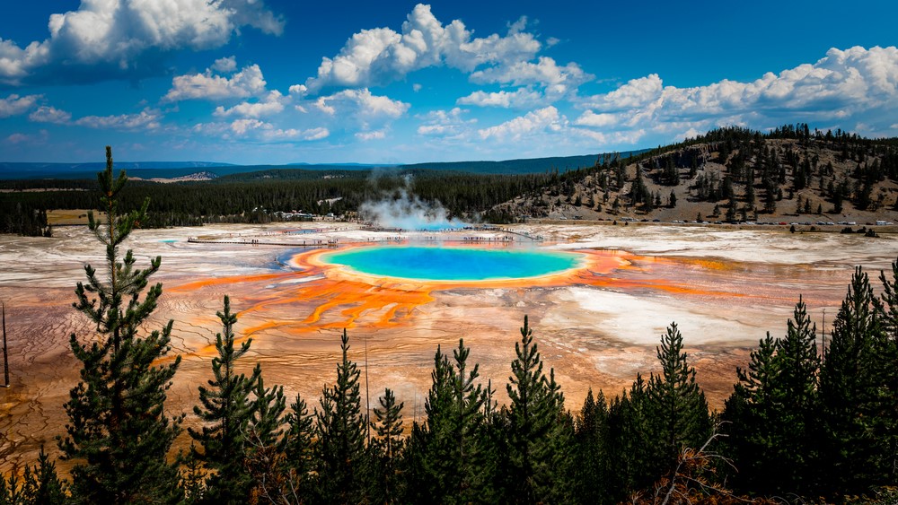
With the new maps, researchers can now see how the water pathways interact with magma to provide the superheated water that creates the geysers and hot springs above. As a result, the team now has a better idea of the inner workings of certain famous features, including the Old Faithful geyser and the Grand Prismatic Spring, Finn said. The maps also show that individual surface features can be connected to other features separated by as much as 6 miles (9.7 km), according to the statement.

However, the maps also showed that geysers and hot springs, which can vary greatly in size, shape, color, chemical composition and volatility, were fed by remarkably similar subterranean pathways."Our work shows that most thermal features are located above buried faults that channel hot water and that flow paths are similar across Yellowstone, irrespective of the chemistry of local springs," Finn said.
This finding suggests that chemical mixing or geological differences closer to the surface are responsible for the diverse range of surface features seen in the park.
The researchers said the huge trove of mapping data they collected could reveal much more about the park.
"The data set is so big that we've only scratched the surface with this first paper," Holbrook said in the statement. "I look forward to continuing to work on this data and to seeing what others come up with, too. It's going to be a data set that keeps on giving."
And many scientific disciplines should benefit. For example, microbiologists can investigate whether subsurface features influence the biodiversity of microbial life-forms living in geysers and hot springs. Geologists will be able to map magma distribution to better understand past volcanic eruptions, and hydrologists will be able to learn about the differences between how hot and cold water flows underground. Researchers can also study how clay sediments block hydrothermal pathways that might lead to pressure buildups and explosions, which are a safety concern in the park, Finn said.
In the future, deeper-sensing electromagnetic data could help reveal the rest of the hydrothermal network and provide researchers with a "complete view of the system," Finn said.
The study was published online March 23 in the journal Nature.
Originally published on Live Science.

Harry is a U.K.-based senior staff writer at Live Science. He studied marine biology at the University of Exeter before training to become a journalist. He covers a wide range of topics including space exploration, planetary science, space weather, climate change, animal behavior and paleontology. His recent work on the solar maximum won "best space submission" at the 2024 Aerospace Media Awards and was shortlisted in the "top scoop" category at the NCTJ Awards for Excellence in 2023. He also writes Live Science's weekly Earth from space series.


